Get them sunglasses out
In which we enjoy the scenery and check in on a few things.
Let’s start with some videos
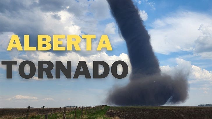
This was from 5/31. I love the contrast between the white clouds and the dark soil getting sucked up by the tornado.
And here’s a timelapse of a storm building over the Sierra. Very cool.
Weather Feed is a reader-supported publication. To receive new posts and support my work, consider becoming a free or paid subscriber.
A broad look into June
Firsthand Weather recently published this. It’s a quick, all-around outlook for the states.
Drought update from 5/30
Full article here and a quick look at it below.
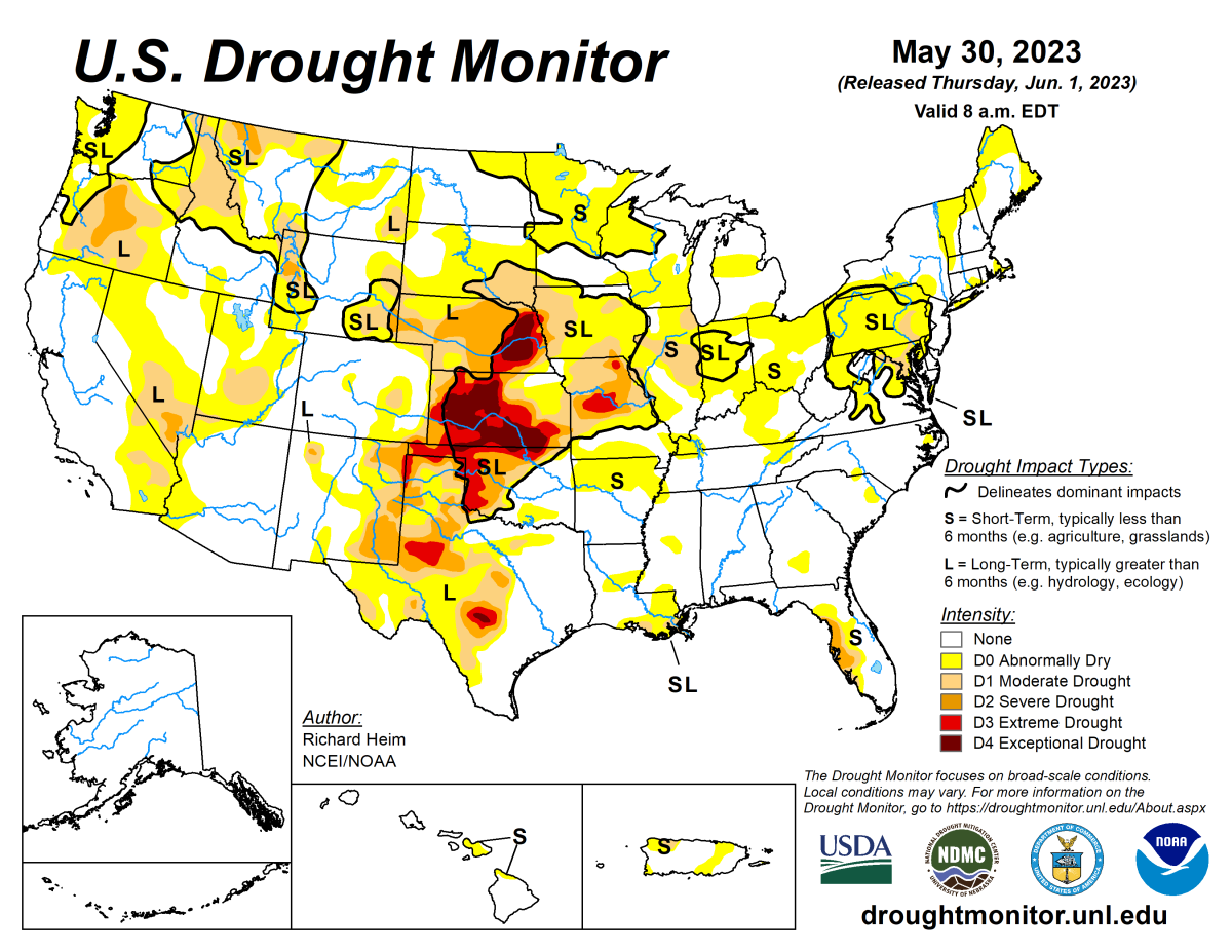
And here’s a link to the intensity definitions if you haven’t seen them.
Remember Typhoon Mawar?
The National Environmental Satellite, Data, and Information Service (part of NOAA, classic long name) did a writeup on Mawar. I thought this was particularly interesting:
Equally staggering is Mawar’s air pressure, or the weight of the air over a given location, which bottomed out around 897 millibars on Friday morning Eastern time. The average sea level air pressure is 1015 millibars. Lower air pressure signifies a stronger low-pressure system. The air pressure inside Mawar is equivalent to that atop a 3,000-foot mountain. This means that roughly a tenth of the atmosphere’s air is “missing” from the center of Mawar, spurring the powerful inward suction responsible for the storm’s extreme winds.
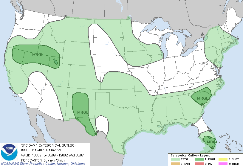
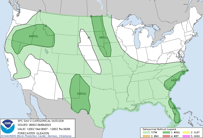
Beware the blob!
It seems like the convective outlooks recently have all looked similar to this. Thunderstorm potential everywhere!
Office hours with Daniel Swain (6/5)
Over on YouTube as usual. Here are my very brief notes:
- Coolish pattern returning to CA
- Upcoming fire season: no changes, grasslands/brushy areas could see more active season than mountainous regions. Feels like a backweighted season (more from July onward).
He also just put up a new post on the Weather West site.
It’s official
We’re in meteorological summer! Break out the sunglasses!

I’ll take it all please
If you want a solid update on El Niño, check out the article below. There’s some stuff in there specific to Australia but it’s a comprehensive update.

See you next time weather fam
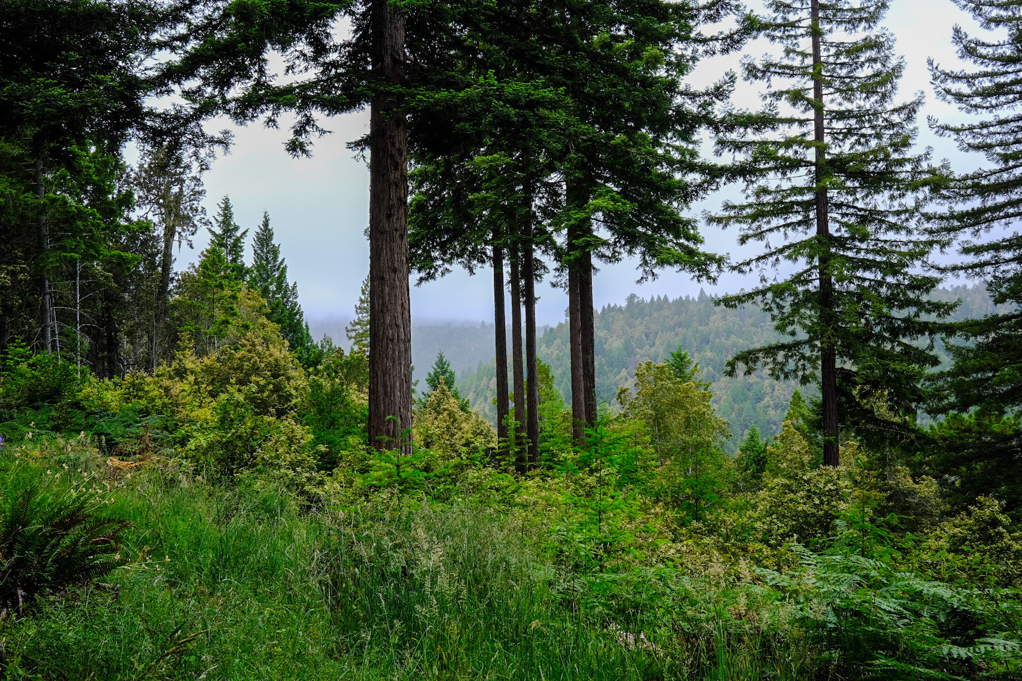
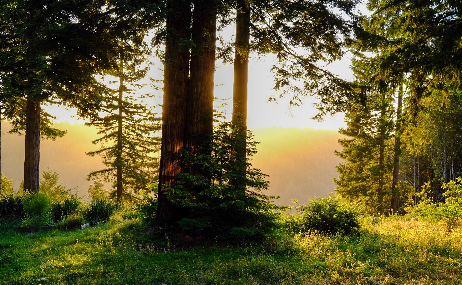
I’ll leave you with some photos I took with my new camera (which I sort of know how to use but not really).