Cloudy with a chance of awesome
In which we say farewell to the water year and set a new record.
Let’s start with some clouds yeah?
The “cb” here is cumulonimbus.
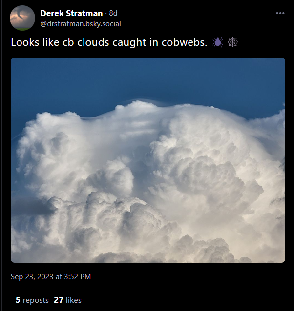
And this cumulonimbus incus.
Do you have some visuals?
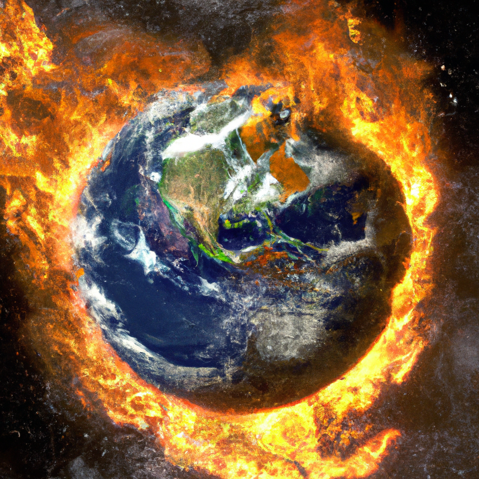
As important as the written word is to me, visuals sometimes just do a better job. We know the last few months have been hot, and The Climate Brink has a nice set of visuals that say more than just “it was hot”.
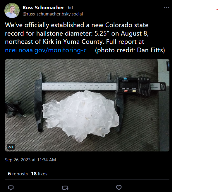
A new record
Congratulations Colorado! This is slightly terrifying.
The Weather Feed is a reader-supported publication. To receive new posts and support my work, consider becoming a free or paid subscriber.
To those who celebrate…
Happy new water year! It rolled over on October 1st (and goes through September 30th the following year) . We ended up somewhere around 63 inches on the last season. Very interested to see how this winter goes.
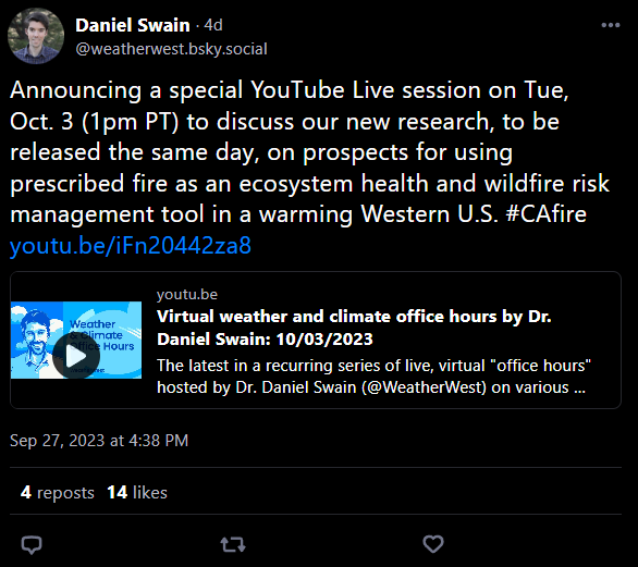
Office hours on 10/3
Coming up tomorrow on YouTube.
While we’re here, these came last week:
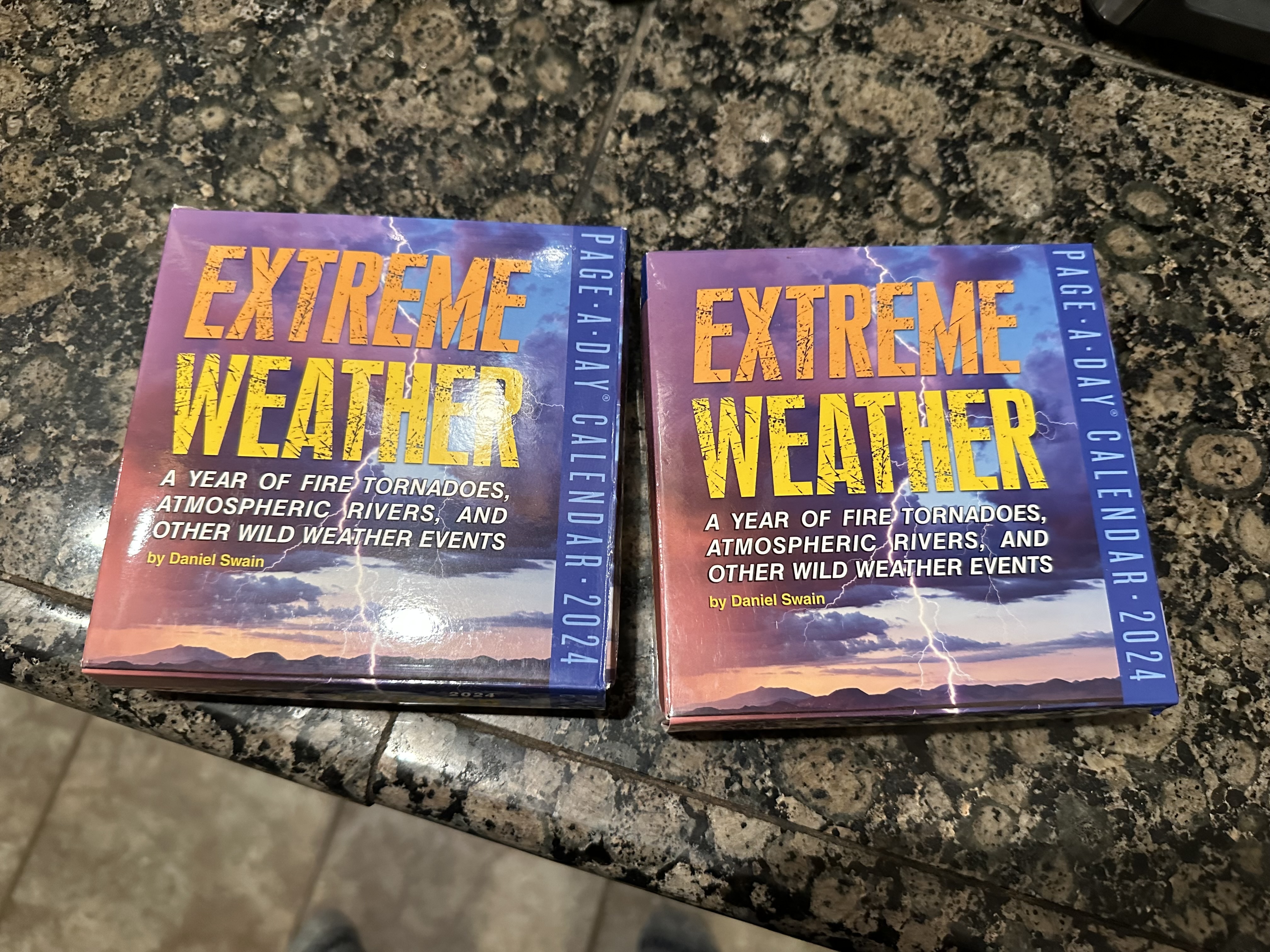
You can get your very own too.
From the NWS glossary
Welcome to the first edition of “pick a random term from the NWS glossary”. This newsletter is meant to be both fun and informative, and I thought this might be an easy win in the informative department.
Omega High
A warm high aloft which has become displaced and is on the polarward side of the jet stream. It frequently occurs in the late winter and early spring in the Northern Hemisphere. The name comes from its resemblance to the Greek letter, Omega, when analyzed on upper air charts. It is an example of a blocking high.
Source: https://w1.weather.gov/glossary/index.php?letter=o
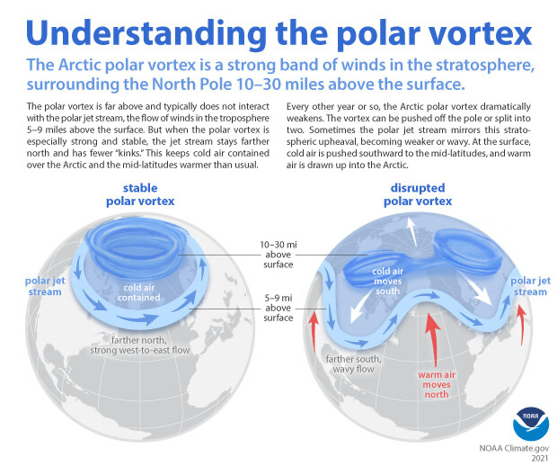
El Niño updates
Still looking to be a fairly strong event but we’re sort of waiting on the details. The ENSO blog published a new article a few days ago.
A robust El Niño is developing in the tropical Pacific, and we’re looking ahead to potential impacts on winter weather and climate. For specifics on this upcoming winter, you’ll have to wait for next month, when NOAA CPC will release their winter outlook. Today, I’m going for the big picture—how does the temperature of the surface of the tropical Pacific, thousands of miles away, change rain, snow, and temperature patterns over North America? The short answer: by shifting the location and strength of the jet stream.
Source: https://www.climate.gov/news-features/blogs/what-we-talk-about-when-we-talk-about-jet-stream-and-el-nino
Keeping it local
CoCoRaHS recently shared their new data explorer. Pick a station near you, explore the data, and enjoy.
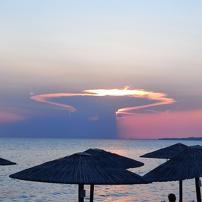
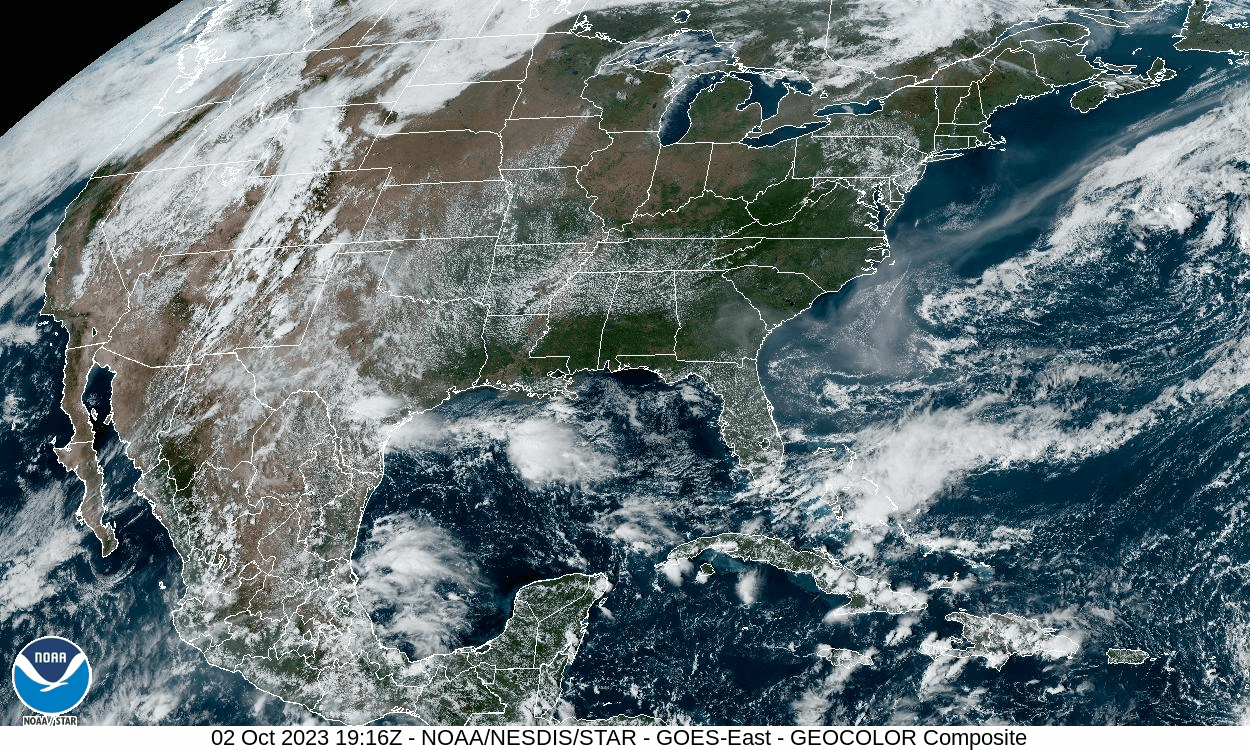
Some satellite imagery
Because it’s beautiful.
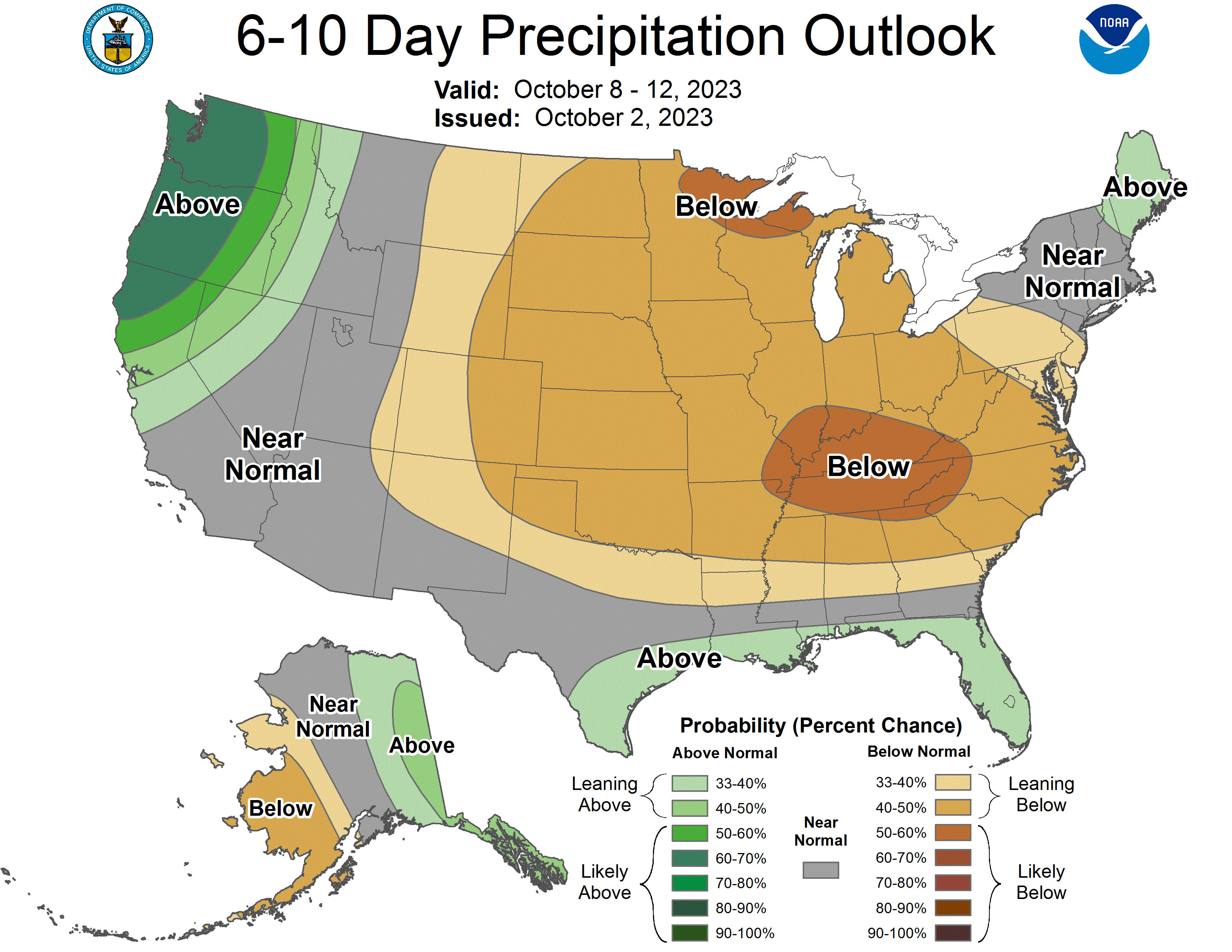
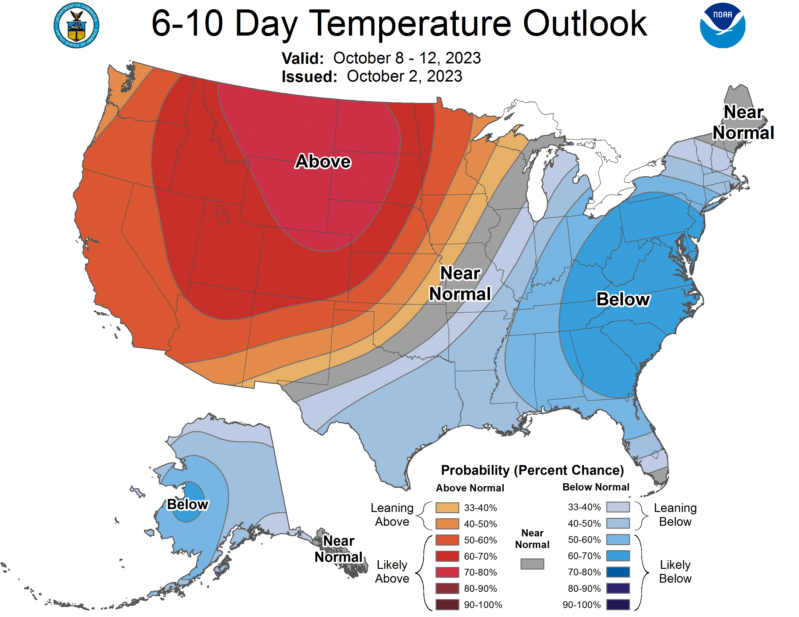
I’ll have the usual
Here are your 6-10 day outlooks.
While we’re looking ahead, NCEI published their regional climate impacts and outlooks. If you scroll down on that page, they have things broken down by region.
That’s it for now
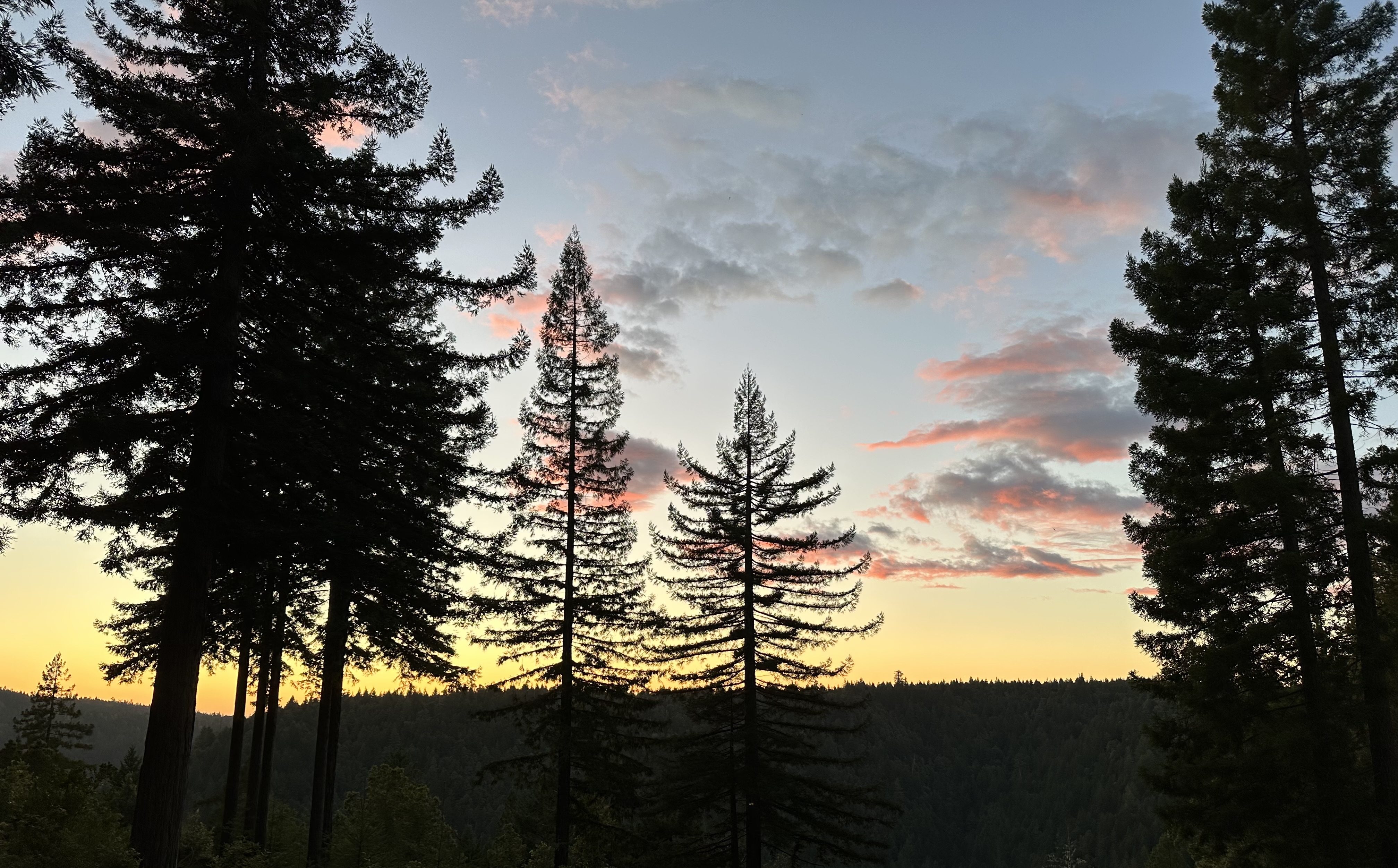
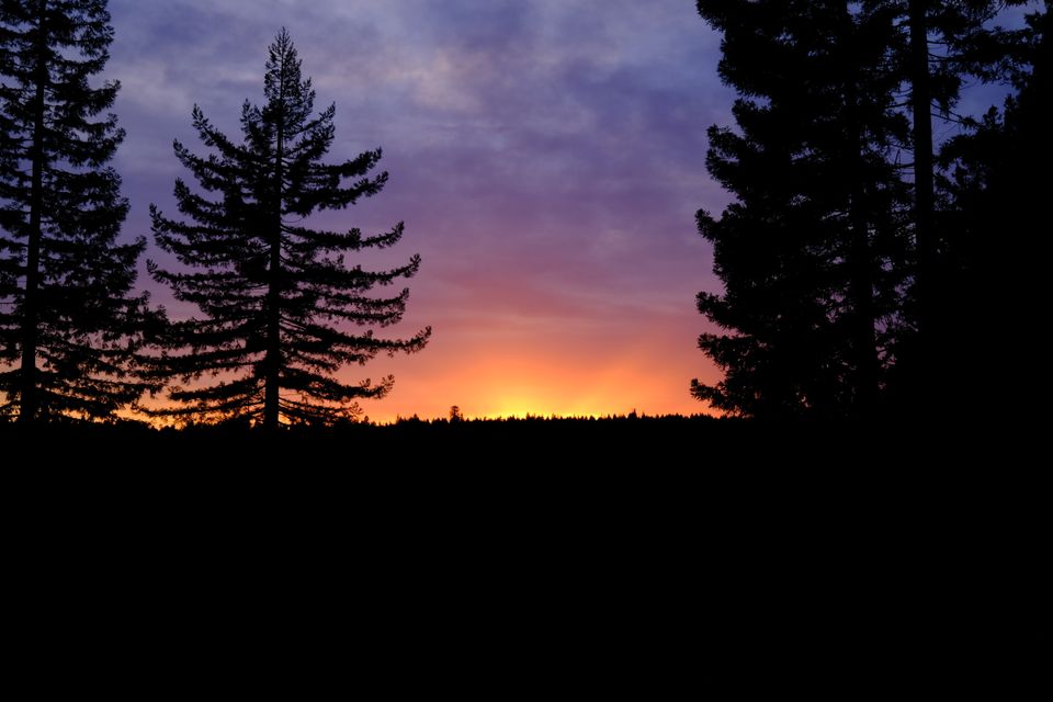
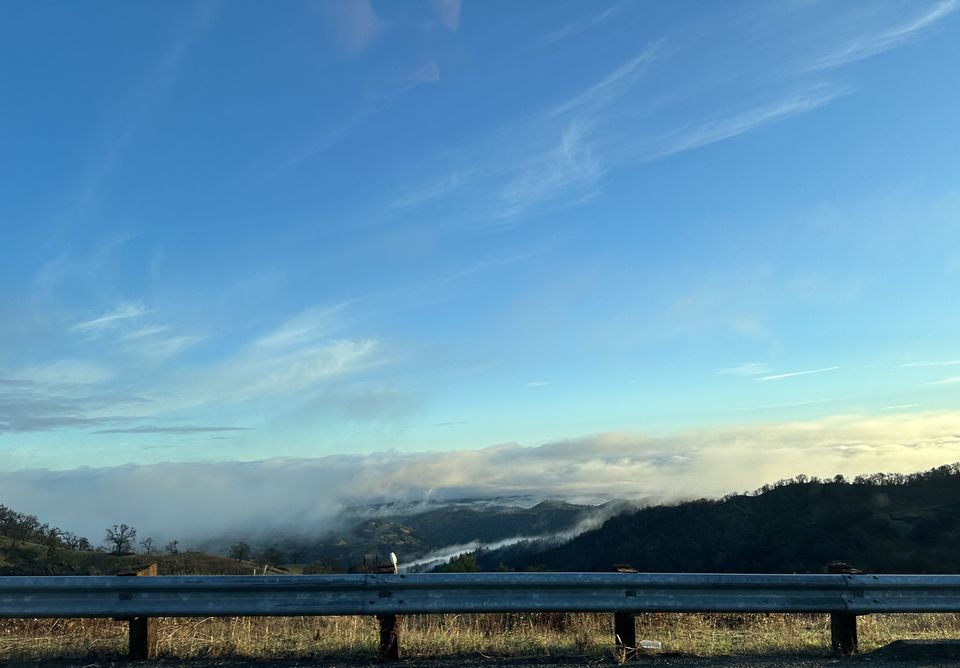
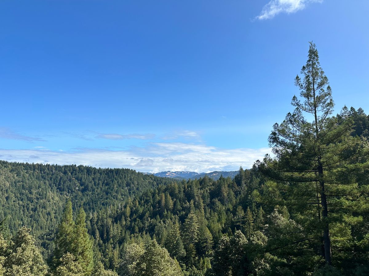
See you next time weather fam 💙. I’ll leave you with some recent photos of the neighborhood, and a brief rain video (listen closely for the happy frog)!