Your mission, should you choose to accept it
Is to enjoy the weather today! And no worries, this message won't self-destruct.

Where art thou October?
It’s somehow the middle of November now and October is firmly in the rear view mirror. That means we’ve got October recaps to cover. Globally, it was the warmest October on record.
October 2023 was the warmest October on record globally, with an average surface air temperature of 15.30°C, 0.85°C above the 1991-2020 average for October and 0.40°C above the temperature of the previous warmest October, in 2019.
Source: https://climate.copernicus.eu/surface-air-temperature-october-2023
There are a lot of great visuals in the source article linked above. Definitely worth a quick scroll.
Closer to home, we have NCEI’s October assessment. I’ve pulled two of the key points out that I thought were interesting.
For the second year in a row, the Mississippi River dropped to record lows, causing barges and ships to run aground during one of the busiest times of the year to ship grain. The first major cold snap of the season occurred on October 31 and into early November. Temperatures dropped 20–30°F below average across much of the U.S., resulting in record-low temperatures and snowfall from the Northwest to the Southeast.
Source: https://www.ncei.noaa.gov/news/national-climate-202310
Learned me somethin’ this week
I’d never heard of Google Arts and Culture but The Met Office (the UK’s weather service) has a section on the site. It’s all about weather stuff and it’s awesome. Do yourself a favor and go click around.
If you’ve been asking yourself…
Whether “super fog” is a legit term or not, The Eyewall has you covered:
“Superfog” is not clickbait, a new term, nor is it a new problem. In fact, the South has been a notorious hot spot for superfog incidents for many, many years.
Source: https://theeyewall.com/superfog-is-the-current-buzzword-in-the-weather-world-so-why-has-it-caused-so-many-issues-in-louisiana/
And if you’re wondering what super fog is…
The technical definition of “superfog” is a combination of smoke and water vapor that produces zero visibility over roadways. What sets it apart from regular dense fog? The smoke. “Water vapor that produces zero visibility” is usually just plain old fog. When you combine fog and smoke and get zero visibility, you get “superfog.”
You may say to yourself, “Self, I thought smoke and fog was known as ‘smog?'” You are correct. The difference is that smog typically results from manmade pollutants, whereas superfog is produced from “smoldering organic material” and has extremely low visibility.
Source: https://theeyewall.com/superfog-is-the-current-buzzword-in-the-weather-world-so-why-has-it-caused-so-many-issues-in-louisiana/
The Weather Feed is a reader-supported publication. To receive new posts and support my work, consider becoming a free or paid subscriber.
Just checking in
The Early Warnings for All initiative was announced a while back. It’s picking up some momentum now which is a good thing. In part because:
It is unacceptable that the countries and peoples that have contributed the least to creating the crisis are paying the heaviest prices,” said UN Secretary-General António Guterres.
“People in Africa, South Asia, South and Central America, and small island states are 15 times more likely to die from climate disasters. These deaths are preventable. The evidence is clear: early warning systems are one of the most effective risk reduction and climate adaptation measures to reduce disaster mortality and economic losses,” said Mr Guterres.
The need is urgent.In the past 50 years, the number of recorded disasters has increased by a factor of five, driven in part by human-induced climate change which is super-charging our weather. This trend is expected to continue.If no action is taken, the number of medium- or large-scale disaster events is projected to reach 560 a year – or 1.5 each day – by 2030.The occurrence of severe weather and the effects of climate change will increase the difficulty, uncertainty, and complexity of emergency response efforts worldwide.
Source: https://www.undrr.org/news/early-warnings-all-initiative-scaled-action-ground
Weather West stuff
Daniel Swain put out a blog post recently (covering the upcoming CA storm and El Niño) and had office hours last Friday. You can find my very brief notes below on the office hours. As usual, take them with a grain of salt and watch the video if you really want the details!
- Brief El Niño overview
- Sometimes NorCal gets hit hard and sometimes not during El Niño, same can happen with SoCal
- Some models saying wetter winter, ECMWF saying dryer or at least more mixed results
- Some models saying quite wet for all CA
- Swain leaning towards wet, but not super confident
- Lots of going on outside of El Niño
- Seems like warmer than average winter
- Mentioned AI, it’s getting better for short term forecasting but climate/seasonal forecasting is more difficult for it
- In El Niño winters, you get more snow higher up, less snow lower down, higher freezing lines
Even more El Niño coverage
Since we’re talking about it already, here’s the Climate Prediction Center’s recent update, The Eyewall’s recent post, the ENSO blog’s recent post, and an interesting WaPo article. I apologize for the long quote here but I thought it was interesting (from the WaPo article):
But the atmosphere doesn’t look like it historically has during other strong El Niños. Here’s why:
There’s an unusual blob of warmth in the western Pacific. Paul Roundy, a professor of atmospheric science at the University of Albany, argues that this is muting some of the more classic El Niño symptoms.
There’s not much rising air over the eastern Pacific. Usually during El Niño, warmer waters in the eastern Pacific heat the air above, inducing rising motion. That creates an area of low air pressure, showers and thunderstorms. The air, in turn, subsides over the Atlantic. But, at present, the area of ascent over the eastern Pacific is meager and diffuse. It’s probable that the western Pacific warm blob, which is out of place, is causing heating and rising motion there and, as what goes up must come down, some of the air is sinking in the eastern Pacific.
It’s possible that the wonkiness of El Niño’s pattern also is tied to a hangover from the three straight winters of La Niña conditions. Crawford said there may “still be a lagged La Niña response that hasn’t completely washed out.” Rising ocean temperatures because of human-caused climate change also may be contributing to the western Pacific warmth.
Source: https://apple.news/A96pJZ5eHSWSfxIo_PrVLPQ
I’ll give you one guess
Take a look at the image below and come up with your guess for what all those ➕icons represent.
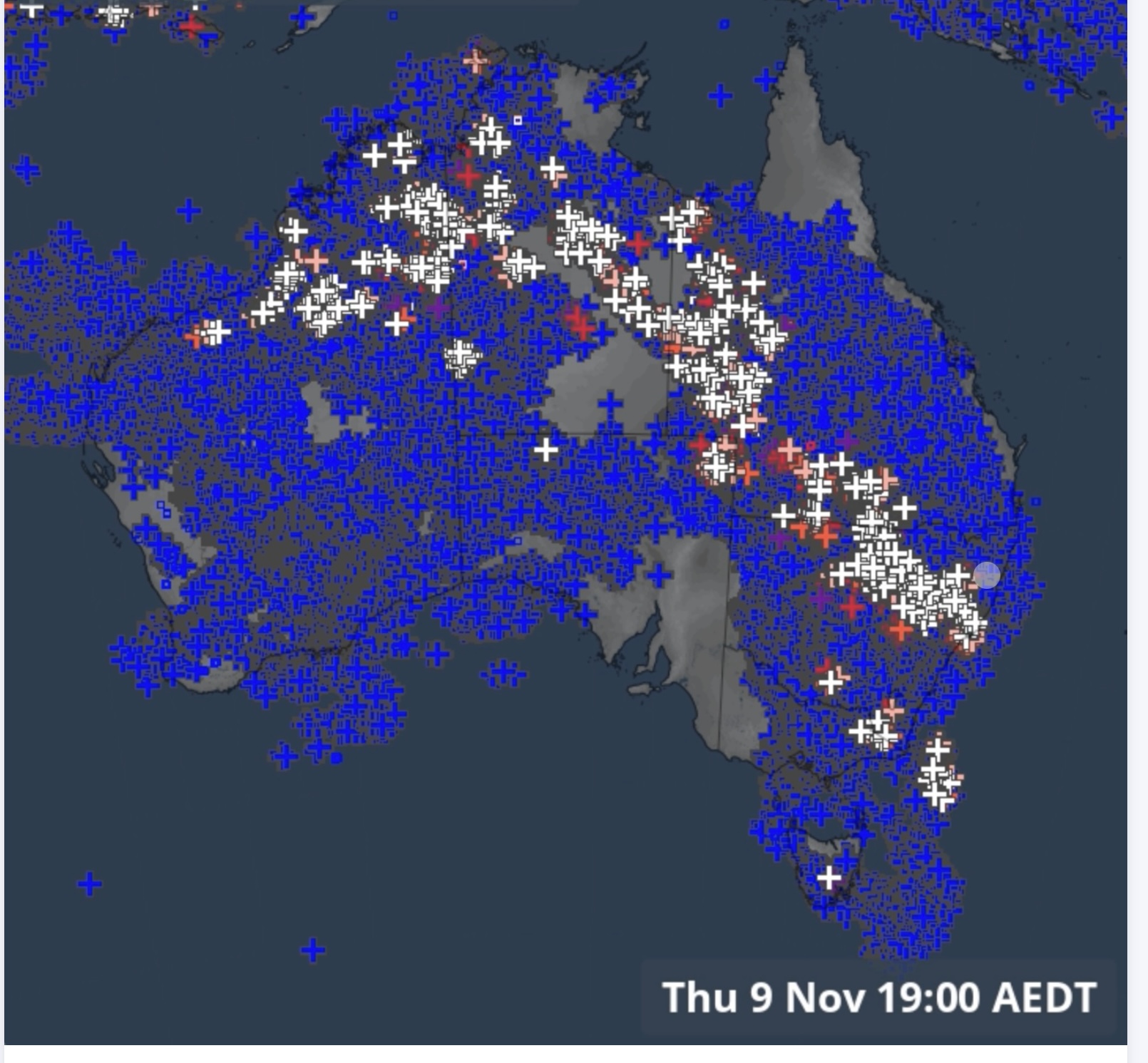
If you guessed lightning strikes, congratulations! I’m sorry I don’t have a prize for you. There were ~8 million lightning strikes over Australia in one week ⚡️⚡️⚡️!
From the NWS glossary
This one is actually a long time coming and I’m going to go into a bit more detail than usual. First up though, let’s see the definition.
Rossby Waves
A series of troughs and ridges on quasi-horizontal surfaces in the major belt of upper tropospheric westerlies. The waves are thousands of kilometers long and have significant latitudinal amplitude.
Source: https://w1.weather.gov/glossary/index.php?letter=r
Visuals really help with this term so check this out now.
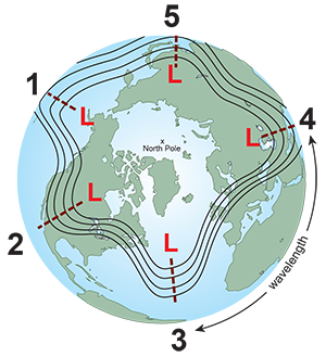
We care about Rossby waves because they have a lot to do with the weather. Here’s more on how they form.
The hemispheric weather patterns are governed by mid-latitude (23.5°N/S to 66.5°N/S) westerly winds which move in large wavy patterns. Known as planetary waves, these longwaves are also called Rossby waves, named after Carl Rossby, who discovered them in the 1930s.
Rossby waves form primarily because of the Earth's geography, which does two things. First, the Earth heats unevenly from the sun due to the different shapes and sizes of the land mass (called differential heating of the Earth's surface). Second, since air can't travel through a mountain, it must rise up and over or go around.
In both cases, the disruption of the air flow creates imbalances in temperature distribution both vertically and horizontally. The wind responds by seeking a return to a "balanced" atmosphere and changes speed and/or direction. However, as long as the sun keeps shinning, those imbalances will continue to develop. Thus, the wind will constantly be changing directions and develop into wave-like patterns.
Source: https://www.noaa.gov/jetstream/upper-air-charts/longwaves-and-shortwaves
And finally, here’s more on the the transfer of hot and cool air:
Rossby waves help to transfer heat from the tropics toward the poles and cold air from the poles toward the tropics trying to return the atmosphere to balance. They also help locate the jet stream and mark out the track of surface low-pressure systems. The number of longwaves at any one time varies from three to seven, though it is typically four or five.
Source: https://www.noaa.gov/jetstream/upper-air-charts/longwaves-and-shortwaves
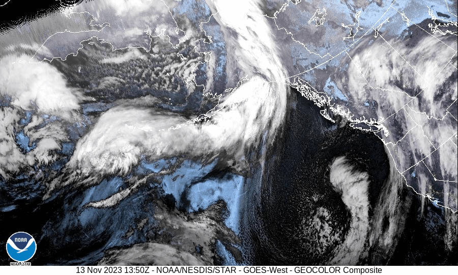
Some satellite imagery
This time around, I gotta show the low pressure system off the CA coast. It’ll be in the lower right.
The usual
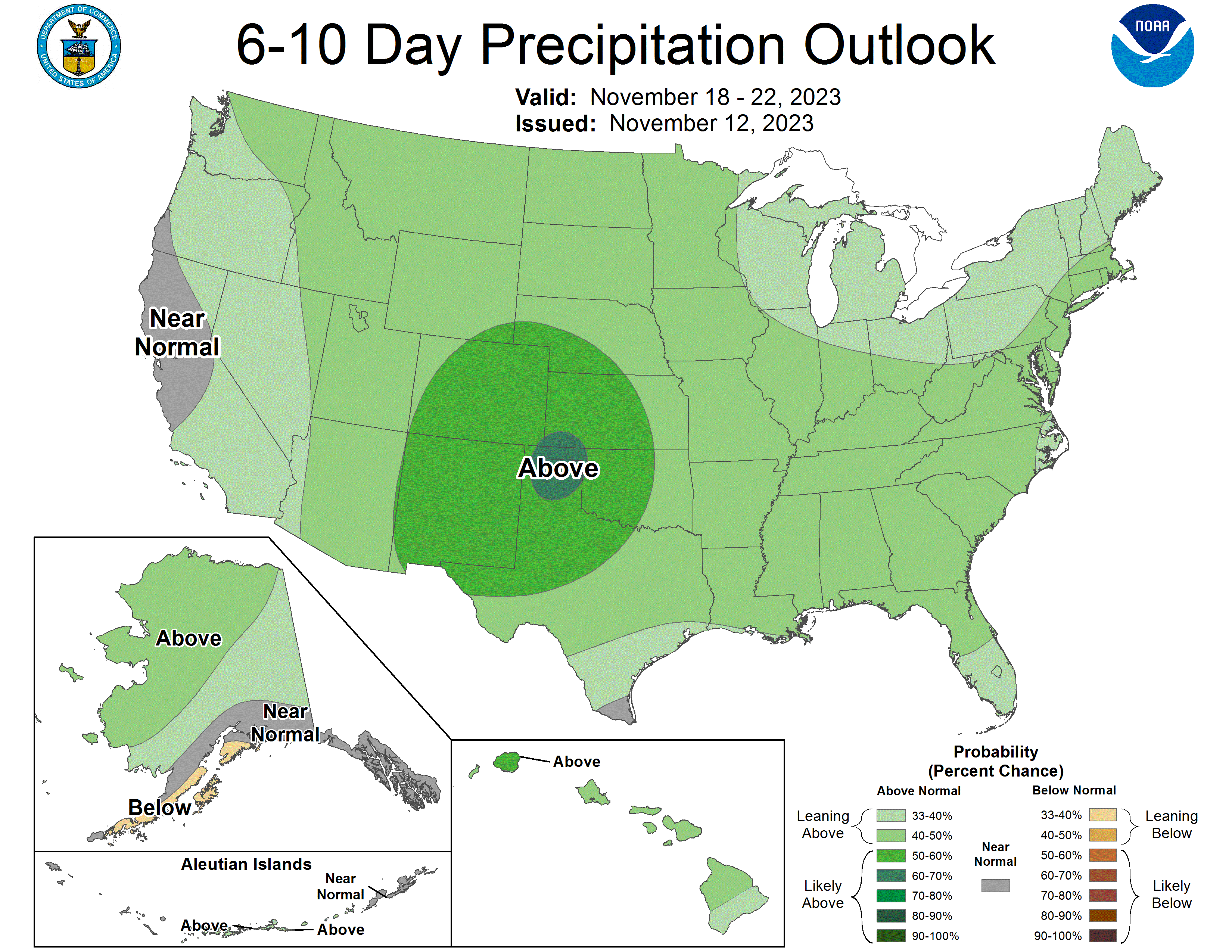
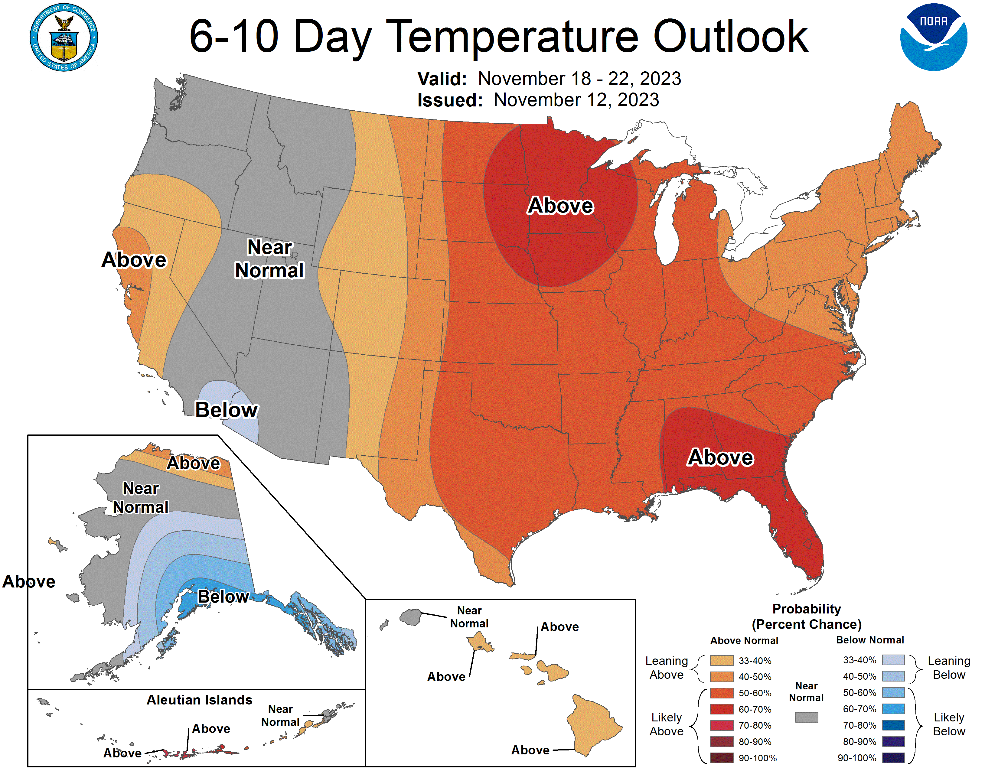
All the outlooks!
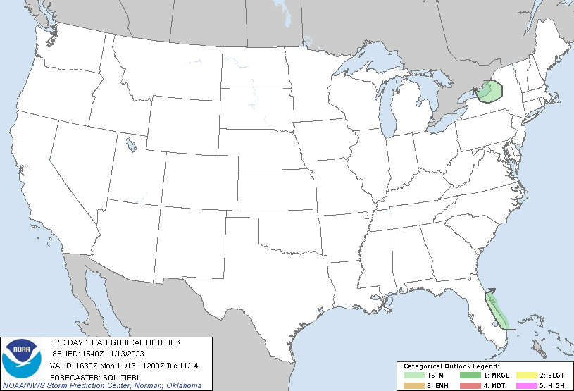
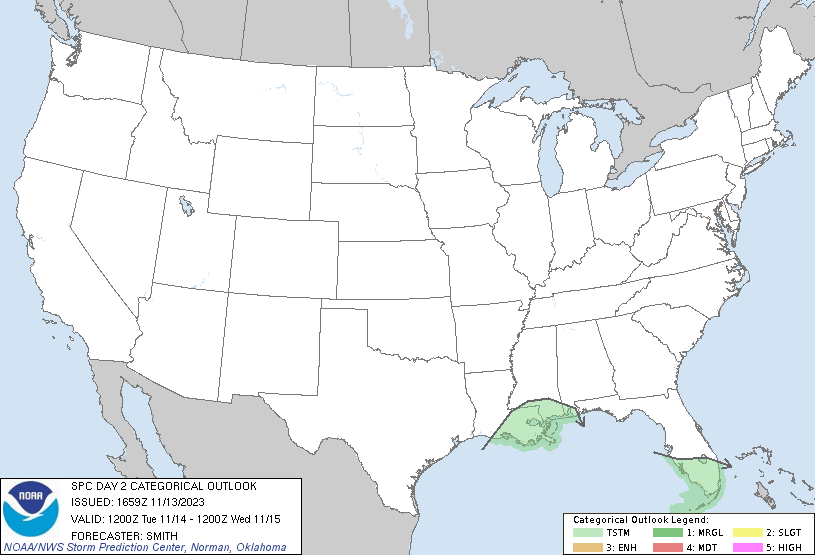
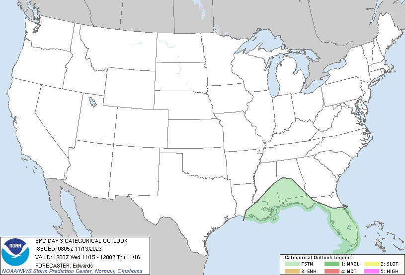
- https://www.spc.noaa.gov/products/outlook/
- https://www.cpc.ncep.noaa.gov/products/predictions/610day/
That’s it for now
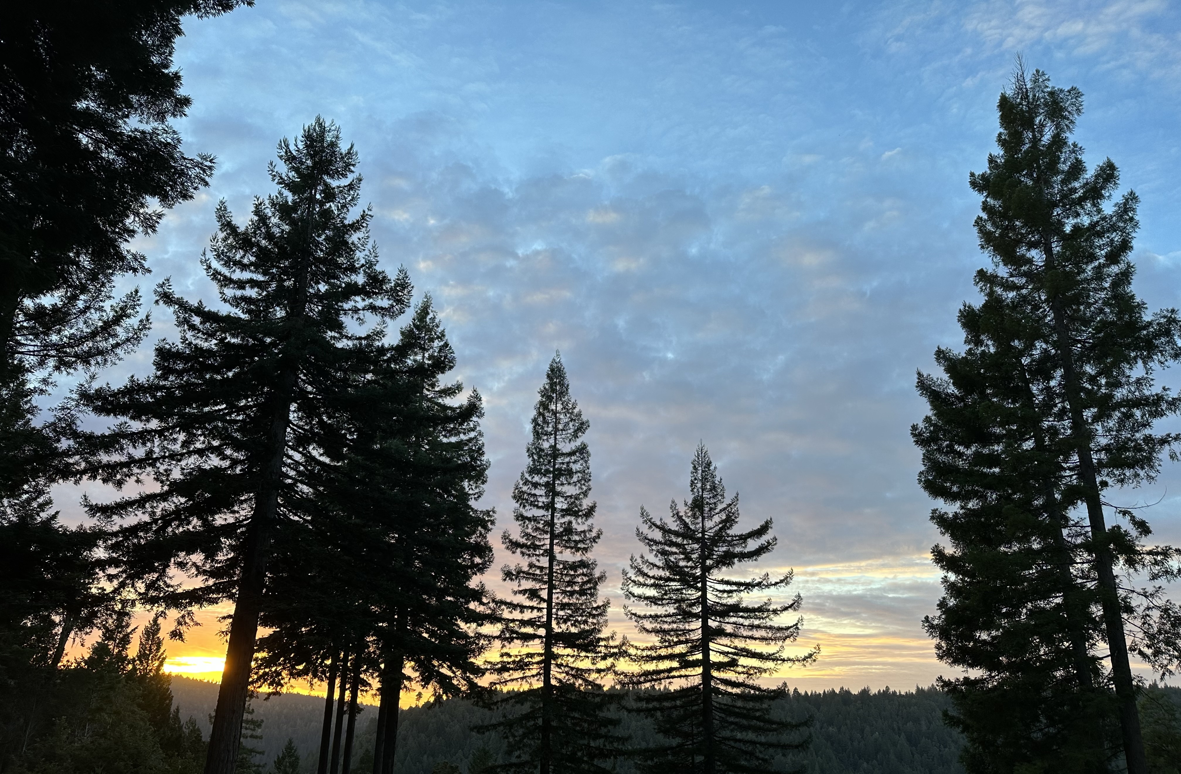
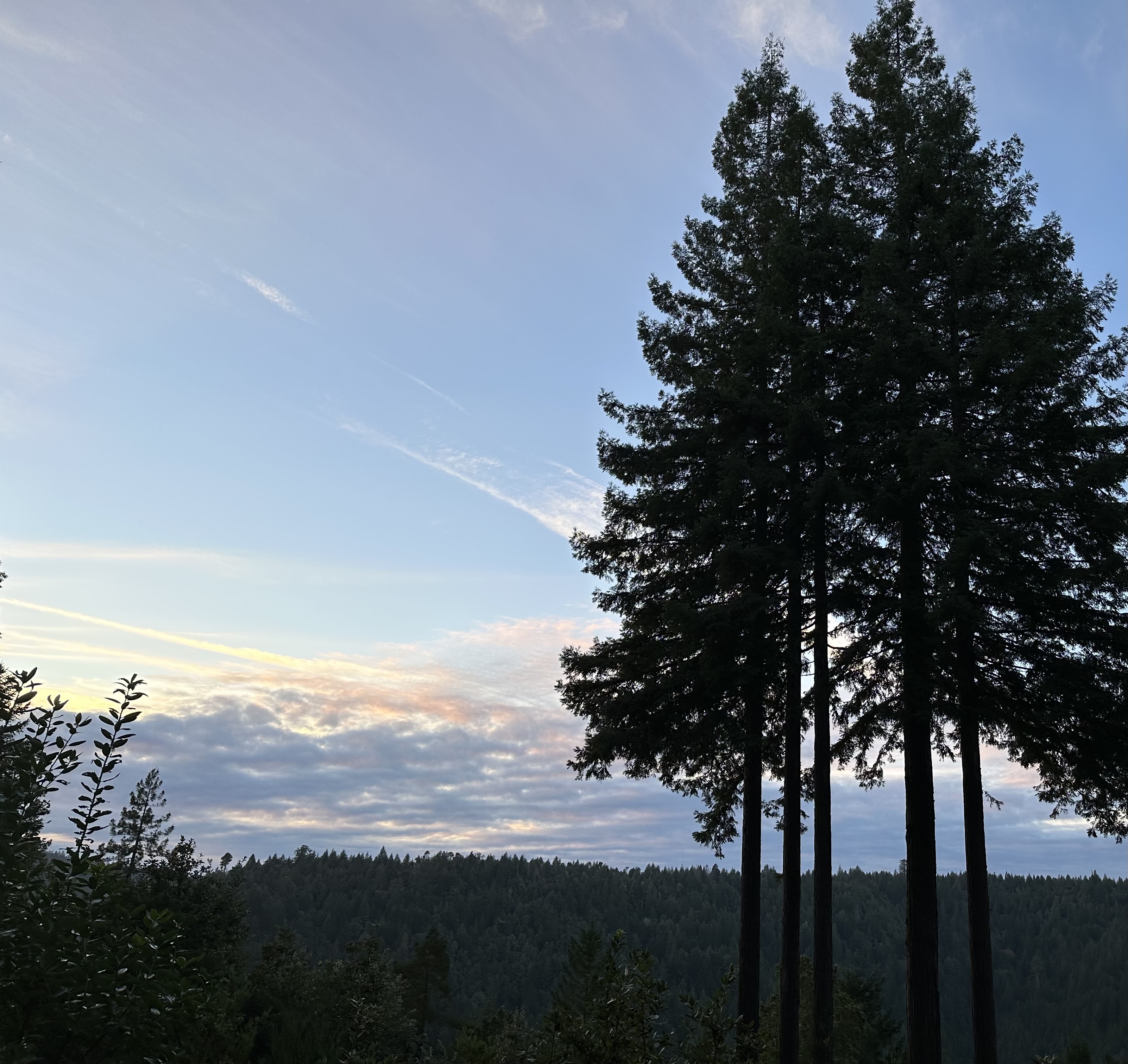
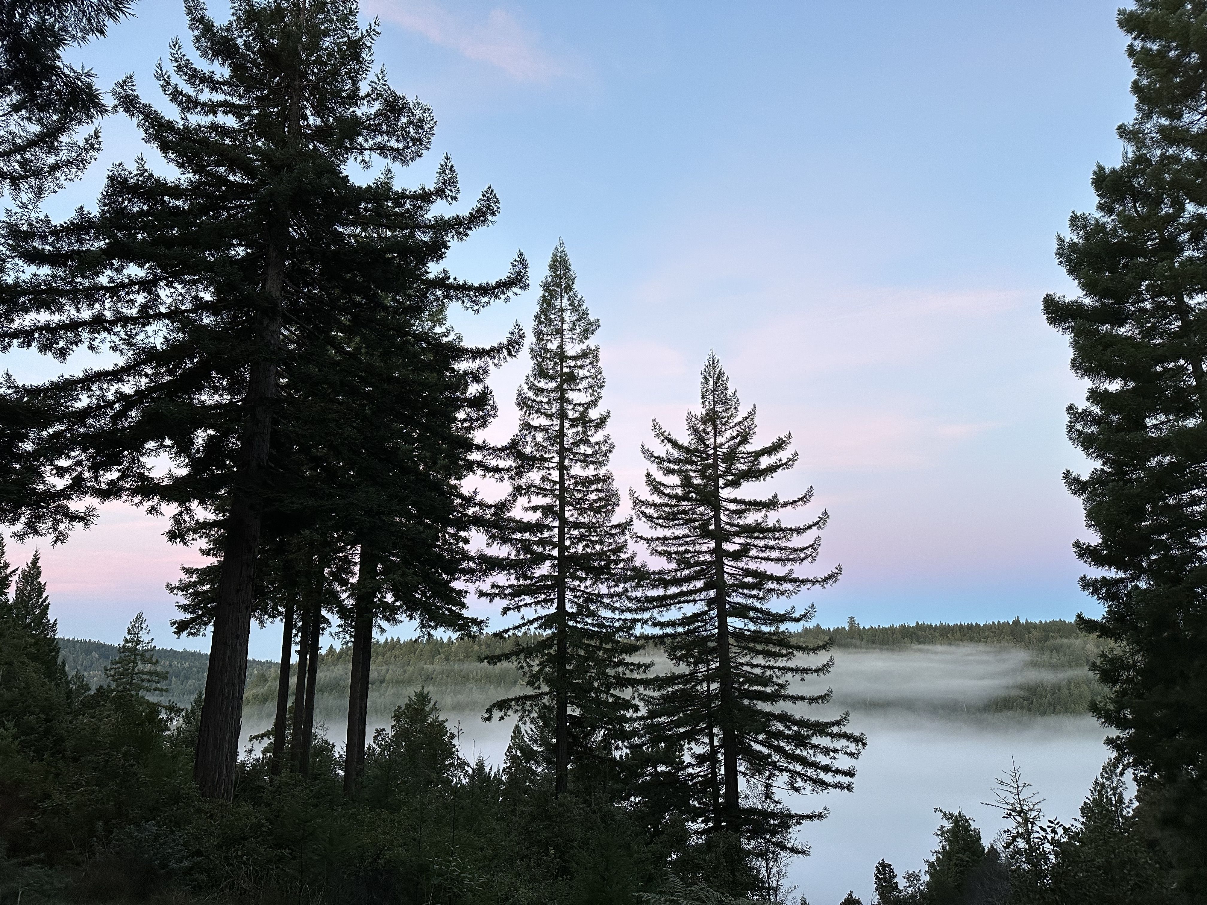
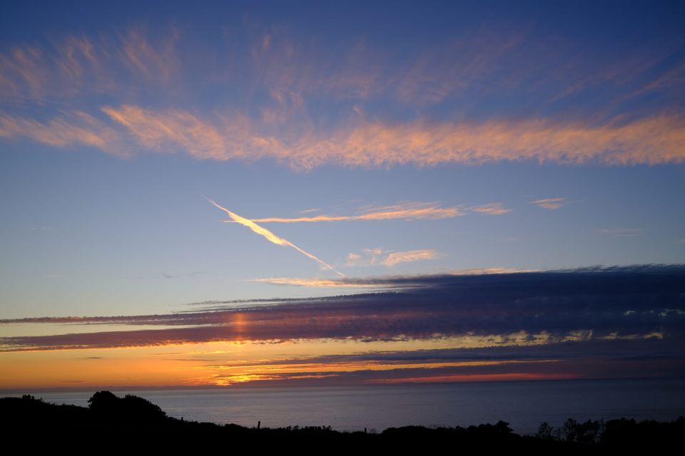
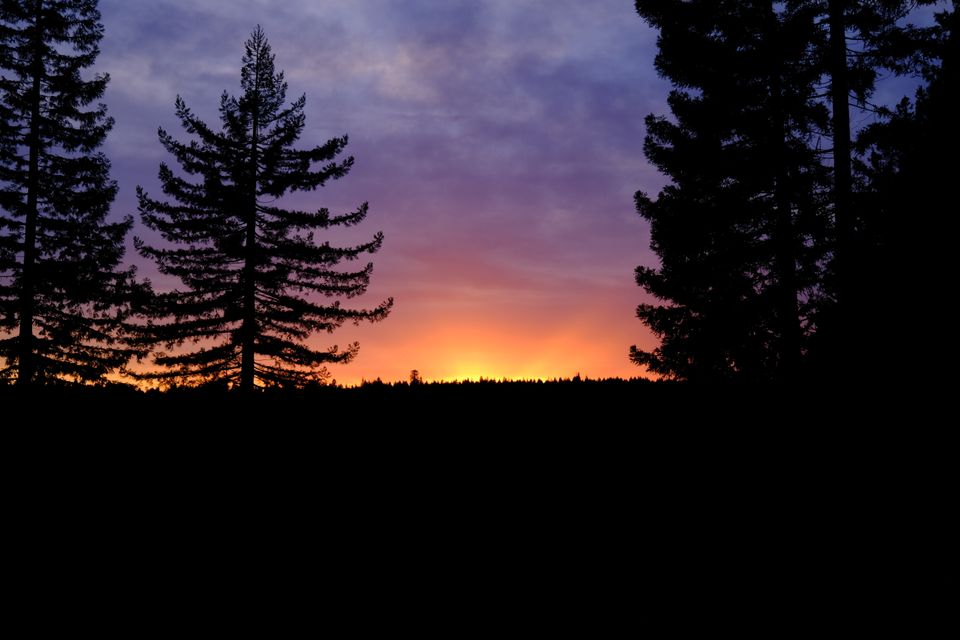
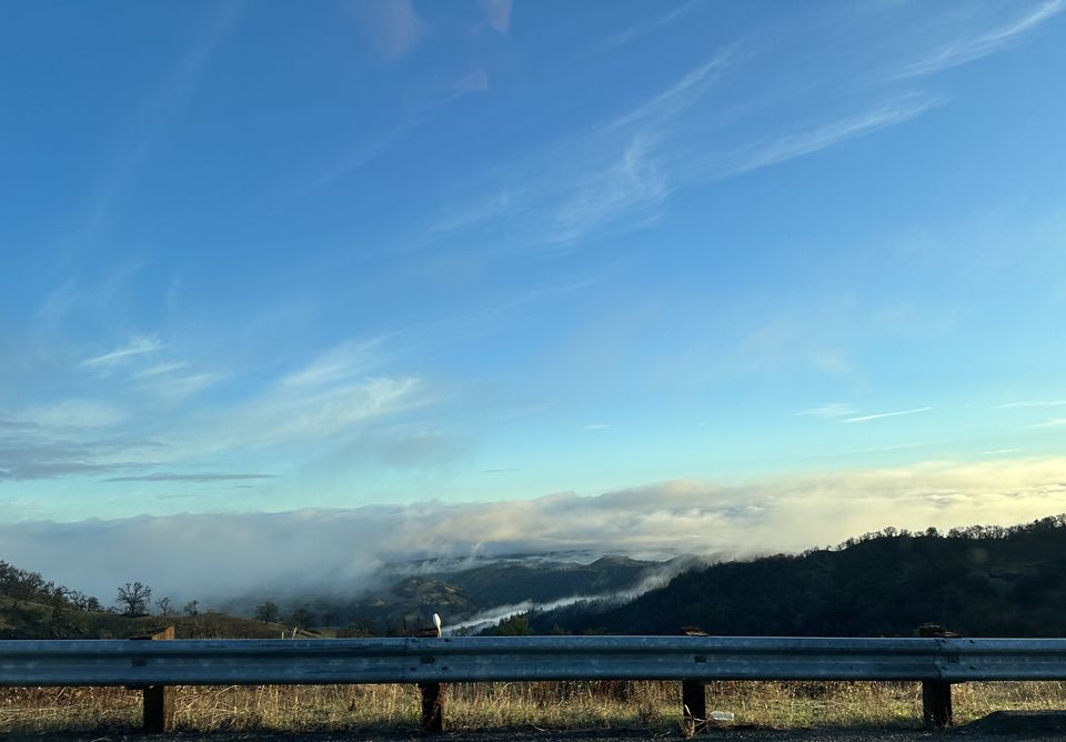
See you next time weather fam. I’ll leave you with a few sunsets, and a sunrise (looking west so the sun is behind us) with some fog.