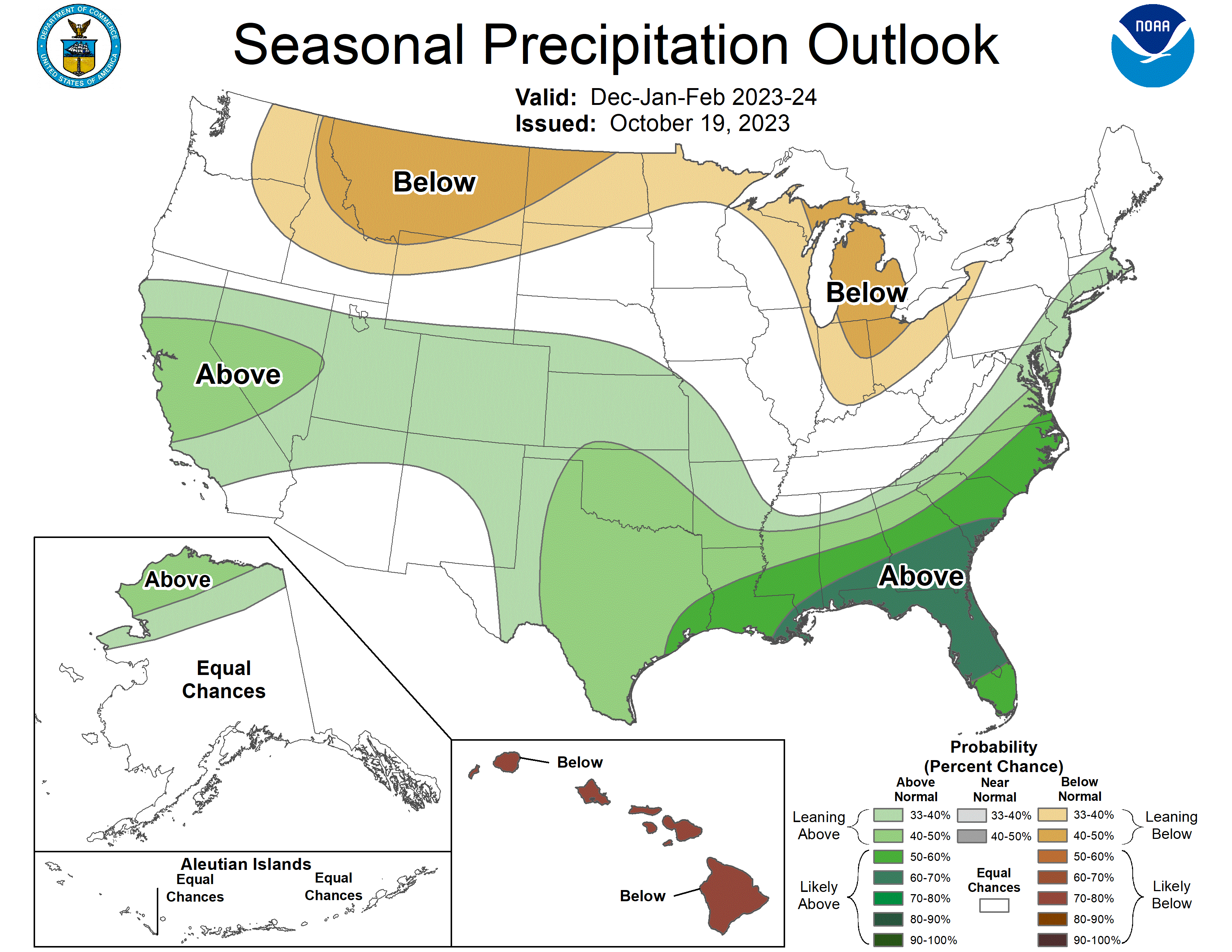
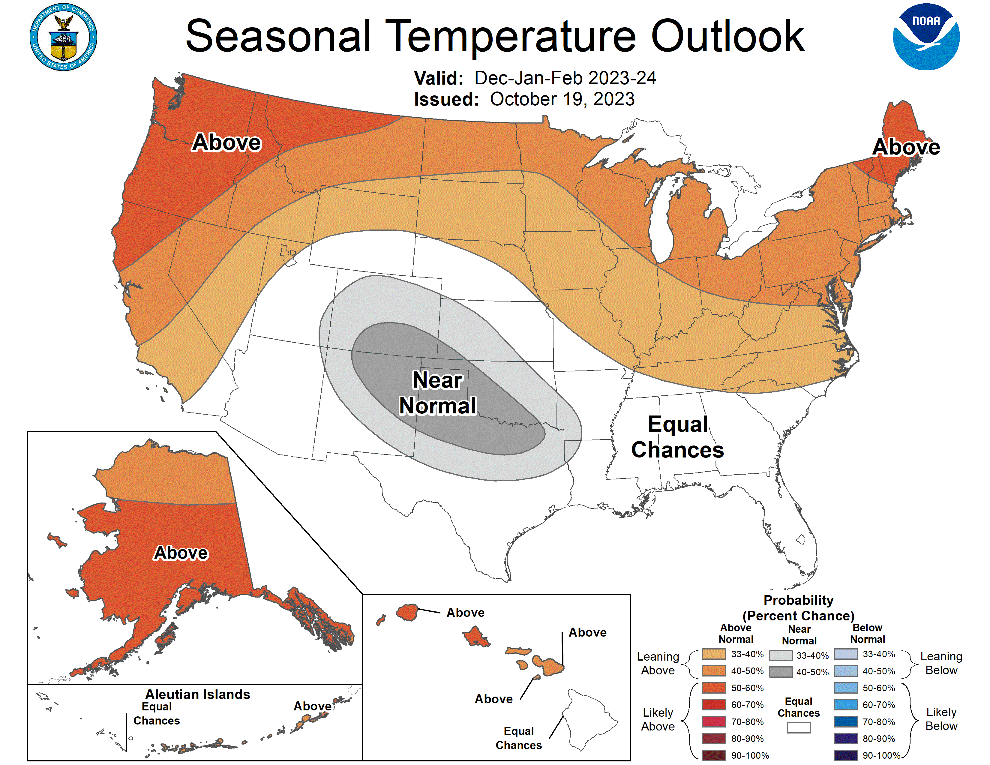
You say seasonal, I say outlook!
In which we look ahead, look back, and learn about sea breeze fronts.

‘Tis the season
For seasonal outlooks! I’ve got a few things for you to check out.
- NOAA’s winter outlook
- ENSO blog about how El Niño affects snowfall in North America
- WaPo article
I think we’ve mentioned this before, but it’s probably worth taking seasonal outlooks with a grain of salt. But having said that…
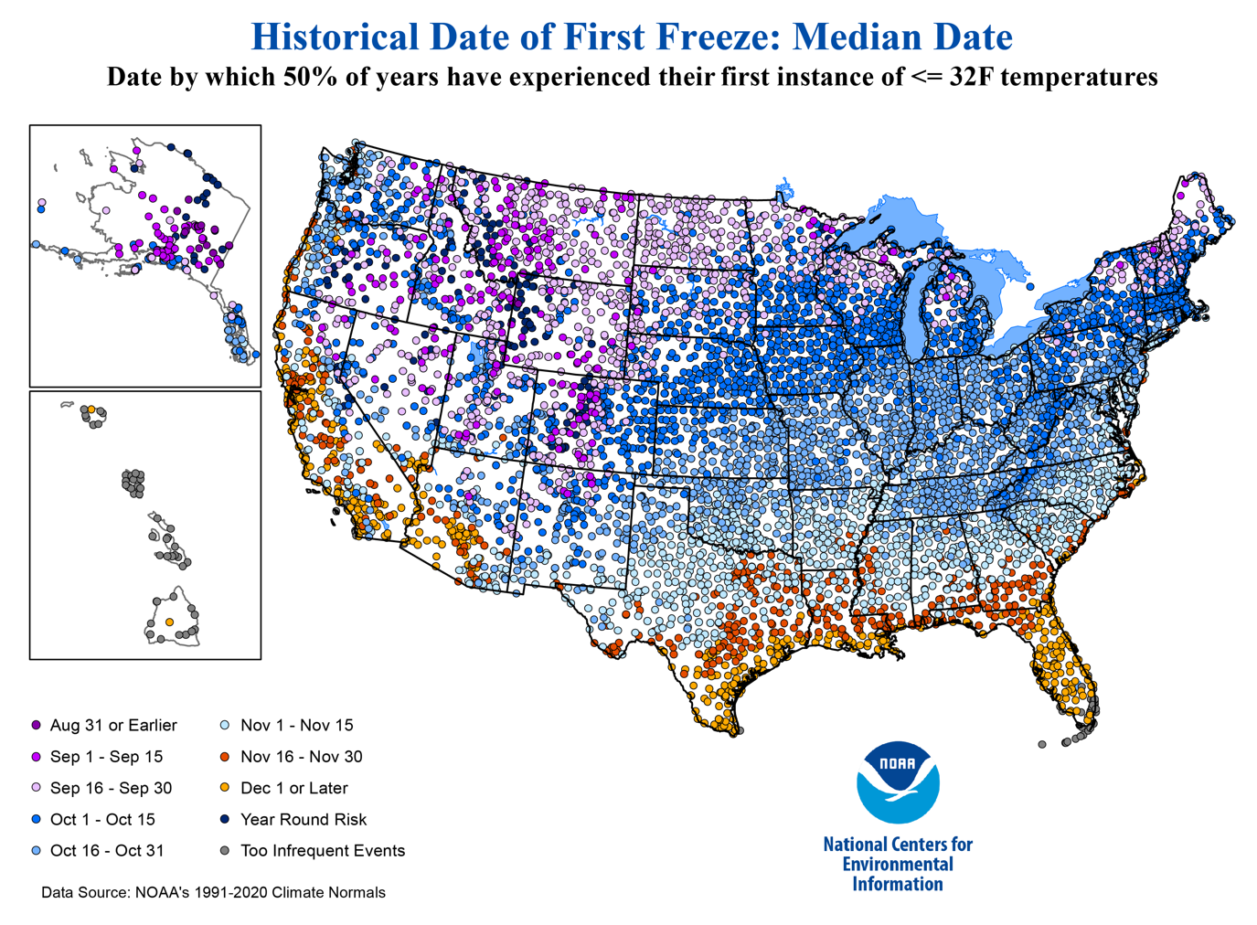
And while we’re talking about seasonal outlooks, here’s a neat article about when the first freezes hit different parts of the U.S.
The Weather Feed is a reader-supported publication. To receive new posts and support my work, consider becoming a free or paid subscriber.
About Otis
There’s been some other hurricane activity recently but the big story was hurricane Otis. The short version is that it wasn’t forecasted to be a major storm but it ended up making landfall as a category 5. How and why the forecast was off isn’t as easy to sum up, so I’ll drop some links that go into the details.
- MyRadar YouTube video
- Yale Climate Connections article
- The Eyewall’s writeup
- The Atlantic article
- WaPo article
- Related article on phys.org about rapid intensification
Otis became a nightmare for a lot of people. If you feel like helping out, I’m sure there are a ton of places to donate to. World Central Kitchen is the primary place I donate to in times like this, and they’re helping to feed victims of hurricane Otis.
Going on a voyage
So this isn’t really weather related but this app sounded so cool. It’s called Voiijer and it’s like an educational social media app for explorers, scientists, climbers, hikers, whatever. I like that it’s really trying to tell stories. You get all the pretty photos and videos, but you also get to learn something too.
Weather YouTube and chill
I haven’t had a chance to watch them yet, but Daniel Swain had office hours today. People also flew into hurricanes again, and Tornado Titans taught us about the key ingredients for storms and some tools for forecasting them.
From the NWS glossary
This week, we have:
Sea Breeze Front
The leading edge of a sea breeze, whose passage is often accompanied by showers, a wind shift, or a sudden drop in temperature.
Source: https://w1.weather.gov/glossary/index.php?letter=s
For those of you in CA
Along with Mark Finan, I’ve also been watching this YouTube channel. Both do some great breakdowns of current and upcoming weather.
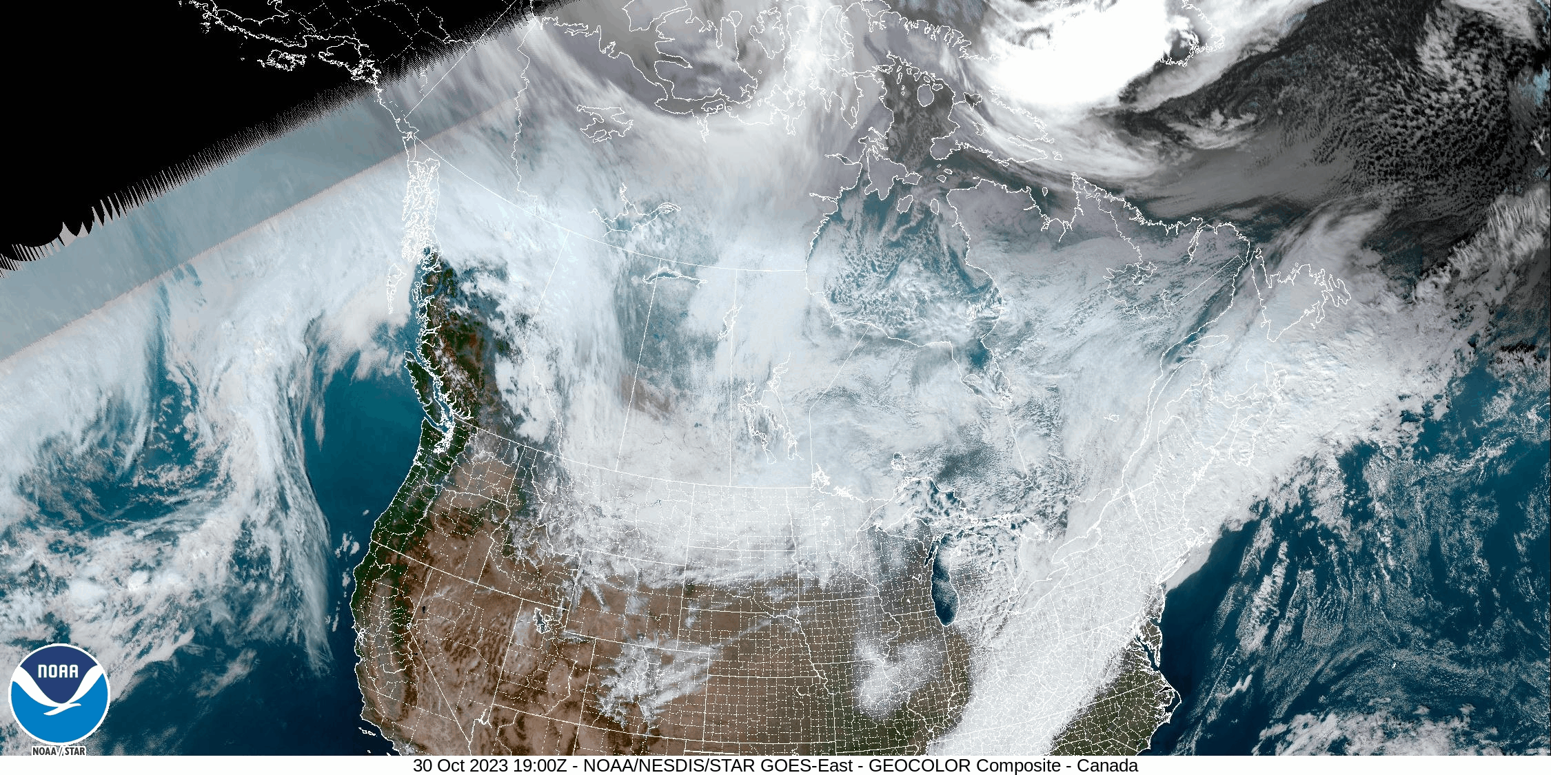
Some satellite imagery
Because we can! I think I can see where all the cold air is coming from…
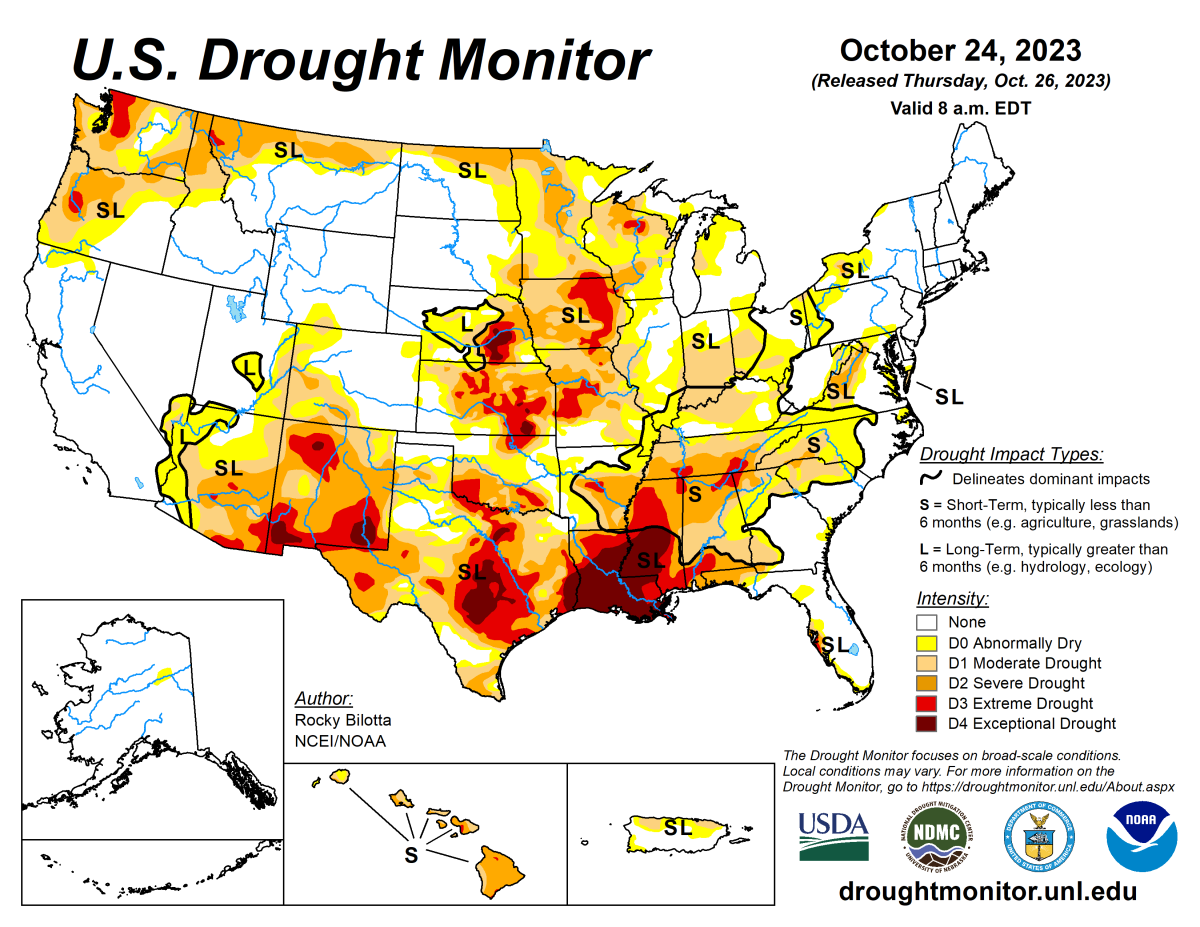
The usual
Here are your 6-10 day outlooks and the drought monitor. There’s a rather nice lack of color in CA in the drought map. I didn’t include the convective outlooks for the next two days because things look fairly quiet.
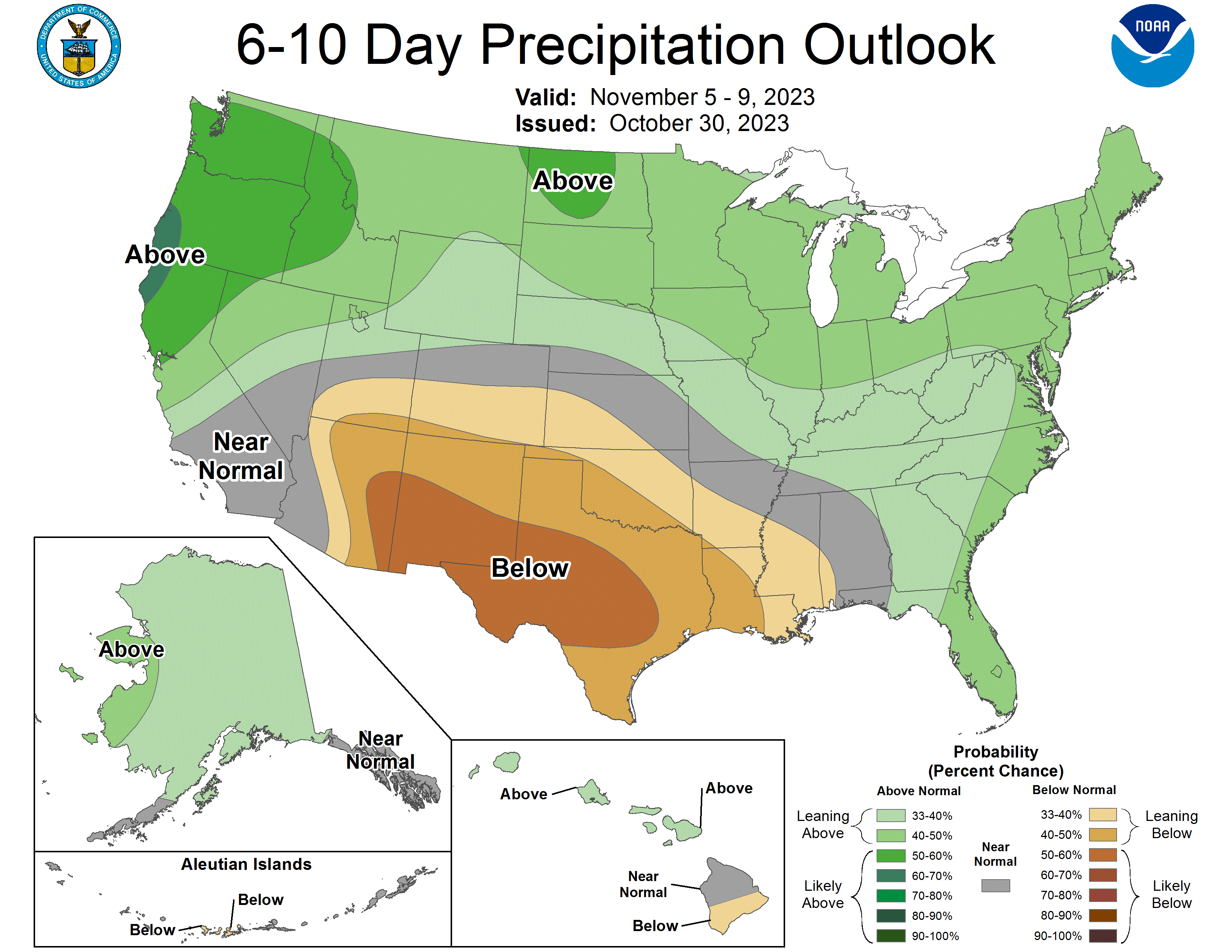
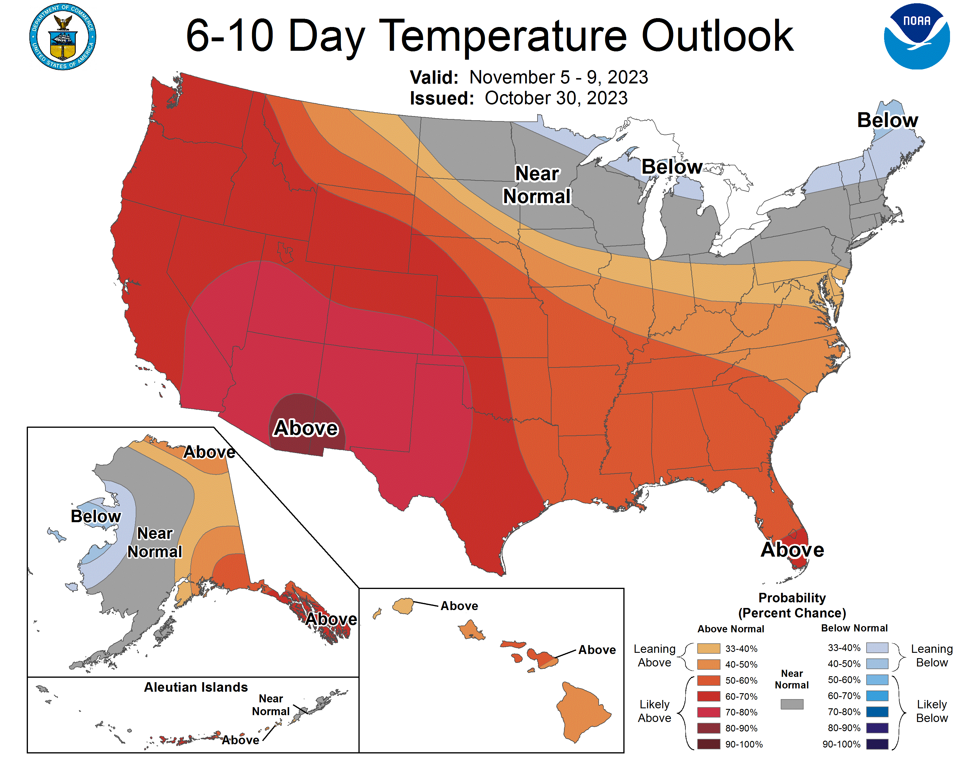
Sources:
- https://www.cpc.ncep.noaa.gov/products/predictions/610day/
- https://www.ncei.noaa.gov/news/us-drought-weekly-report-october-24-2023
That’s it for now
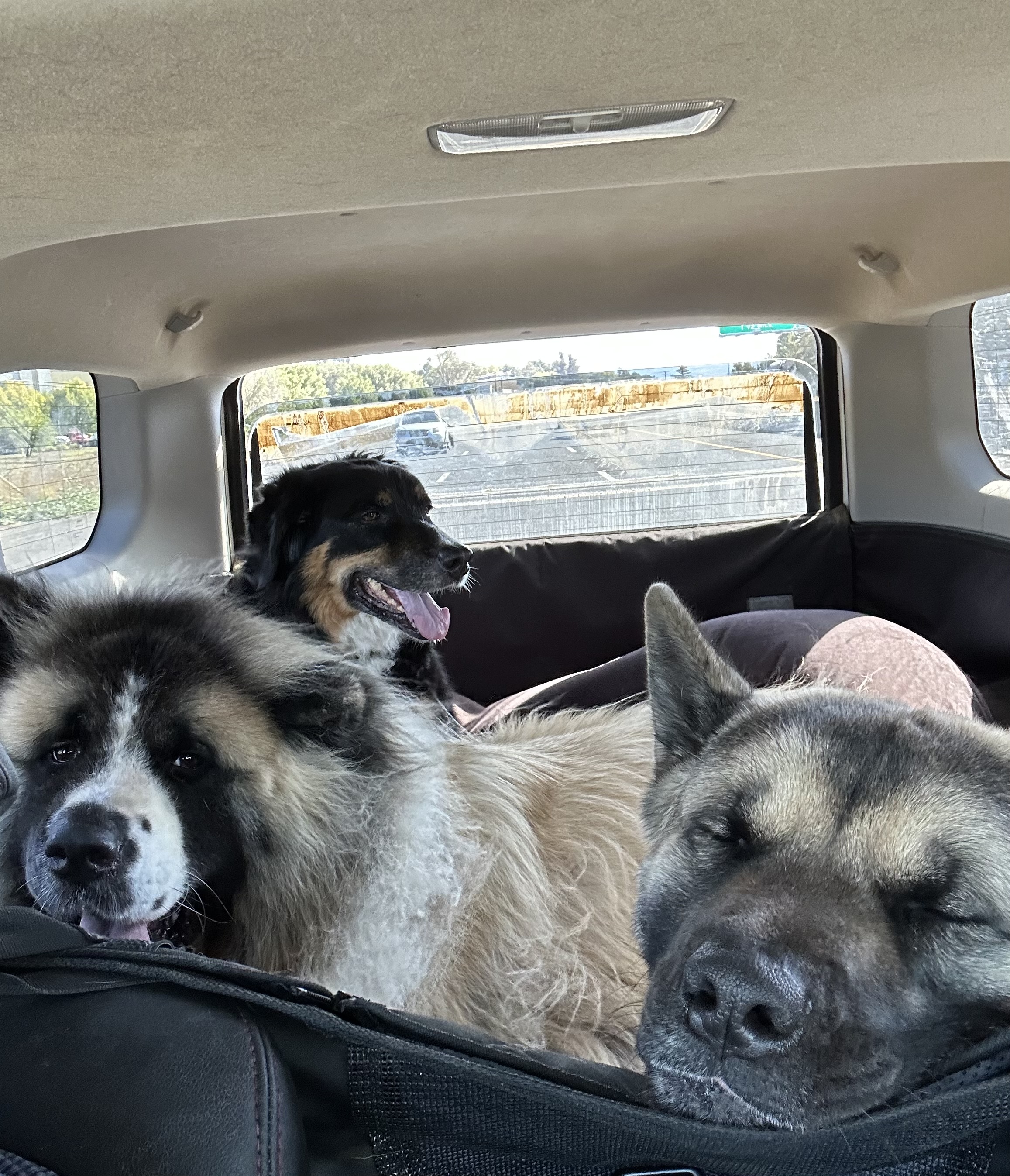
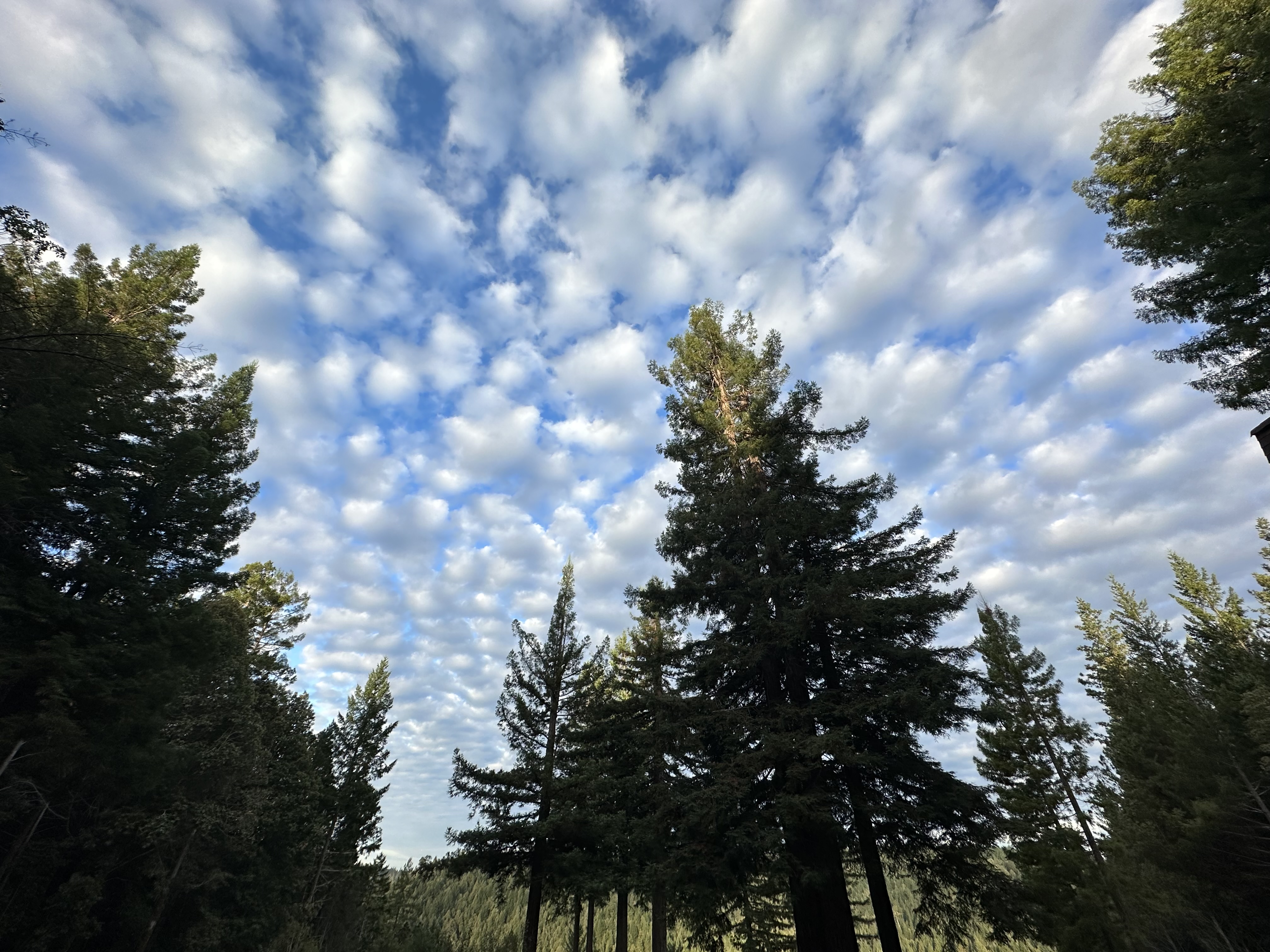
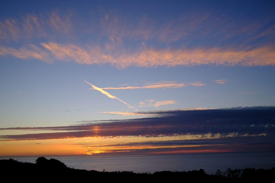
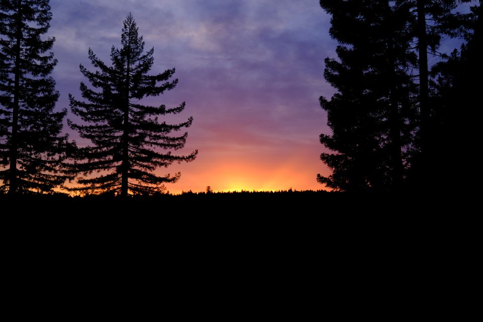
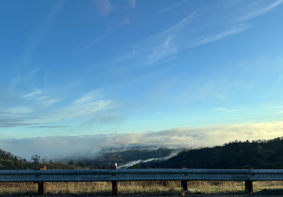
See you next time weather fam. I’ll leave you with some photos from the last few weeks. We’ve got sleepy dogs and puffy clouds.