Ya know, for scale
In which we do what we do best, learn and laugh.
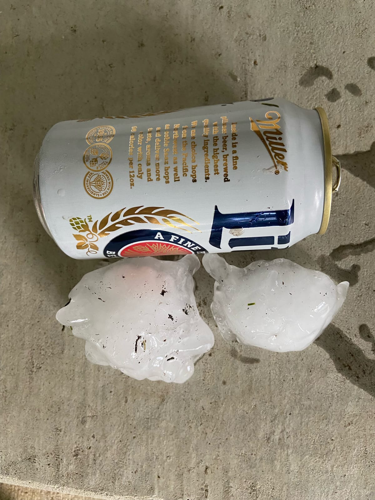
Hold Hail my beer
There have been a ton of thunderstorms, hail, etc. across the country the last week or so. A family member in Chatham, IL shared this beauty with me.
If you’re interested in some related images, articles, etc. here’s a list:
- WaPo article
- Tweets: video, neat clouds/colors, mini tornado explainer video, storm photo, radar gif, wedge tornado photo
And finally, this from Tornado Titans:
Weather Feed is a reader-supported publication. To receive new posts and support my work, consider becoming a free or paid subscriber.
Cyclone Mocha
It made landfall on the coasts of Bangladesh and Myanmar as a category 4, which is obviously tragic. Articles:
I’ll likely find a charity or fund to donate to but I’m not sure which one yet. If you’ve donated already, let me know where and I’ll make a donation too.
Wrap it up in a bow
In the last newsletter, I shared this radar imagery.
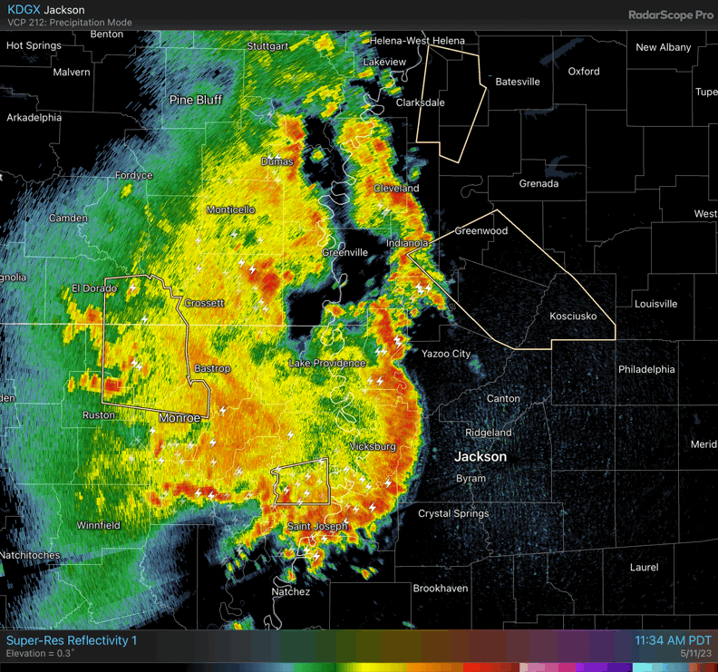
I found out later that shape is called a bow echo!
Bow echoes usually arise from a cluster of storms, but also may begin from just a single supercell thunderstorm. As the rain cooled downdraft reaches the earth's surface, it spreads horizontally. This downdraft marks the dissipation stage of that particular thunderstorm cell.
NWS source link
Global Climate Report for April
As usual, you can find it on the NCEI site. Here were the highlights:
The Southern Hemisphere had its warmest April and warmest month on record.As ocean temperatures set a record high for the month of April, NOAA's Climate Prediction Center announced an El Niño Watch alert status.April 2023 saw the third-smallest global April sea ice extent on record.Cyclone Ilsa set a record for the strongest winds observed in western Australia before making landfall in a sparsely populated area of northwestern Australia.
Latest Weather West post
It went out on the 12th. Daniel Swain covered recent and upcoming weather patterns, but also checked up on El Niño:
El Niño continues to rapidly develop, and now essentially every observed oceanic and atmospheric indicator is consistent with predictive model forecasts showing a very high likelihood of El Niño thresholds being exceeded by autumn. In fact, there is now officially a >50% chance of a strong El Niño event by late autumn–and I personally suspect the odds are even higher than that. The high prospects of a strong ENSO event, in particular, are what give some indication this event is likely to exert a significant influence on CA weather by late summer or autumn and continuing into winter. I’ll discuss the details more later, but suffice it to say for now that everything currently appears to be on track for a major event.
And office hours are tomorrow at 10:30am PST. I”m gonna miss it this time but I’ll watch the recording later.
Don’t cross that line
“Dry line” has been thrown out a lot recently with all the thunderstorm and tornado activity. I was about to Google it the other day (certainly the term has some obvious meaning but I wanted the details) but then Delaware Weather Guy saved me the effort. Nice.
Following through
I mentioned recently that I was going to put together a page of resources. It hath been created. Let me know if you have suggestions. There are a few Easter eggs in there too, have fun.
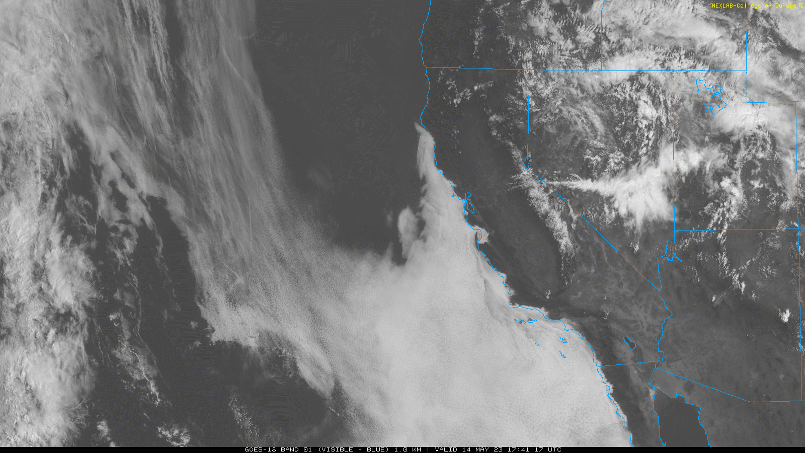
Love you fog 💙
Just chilling along the coast like a boss.
Hey it’s me!
See you next time weather fam
I’m still running a discount on subs if you want to upgrade or share.


