Satellite, in my eye...
In which we feel the heat, learn a few things, and enjoy the view.

Hot stuff, coming through
Asia and Europe have been experiencing a major heat wave, and I’m sure you’ve heard about Canada and the Pacific Northwest too. Vietnam saw a temp of 44°C (111°F)!
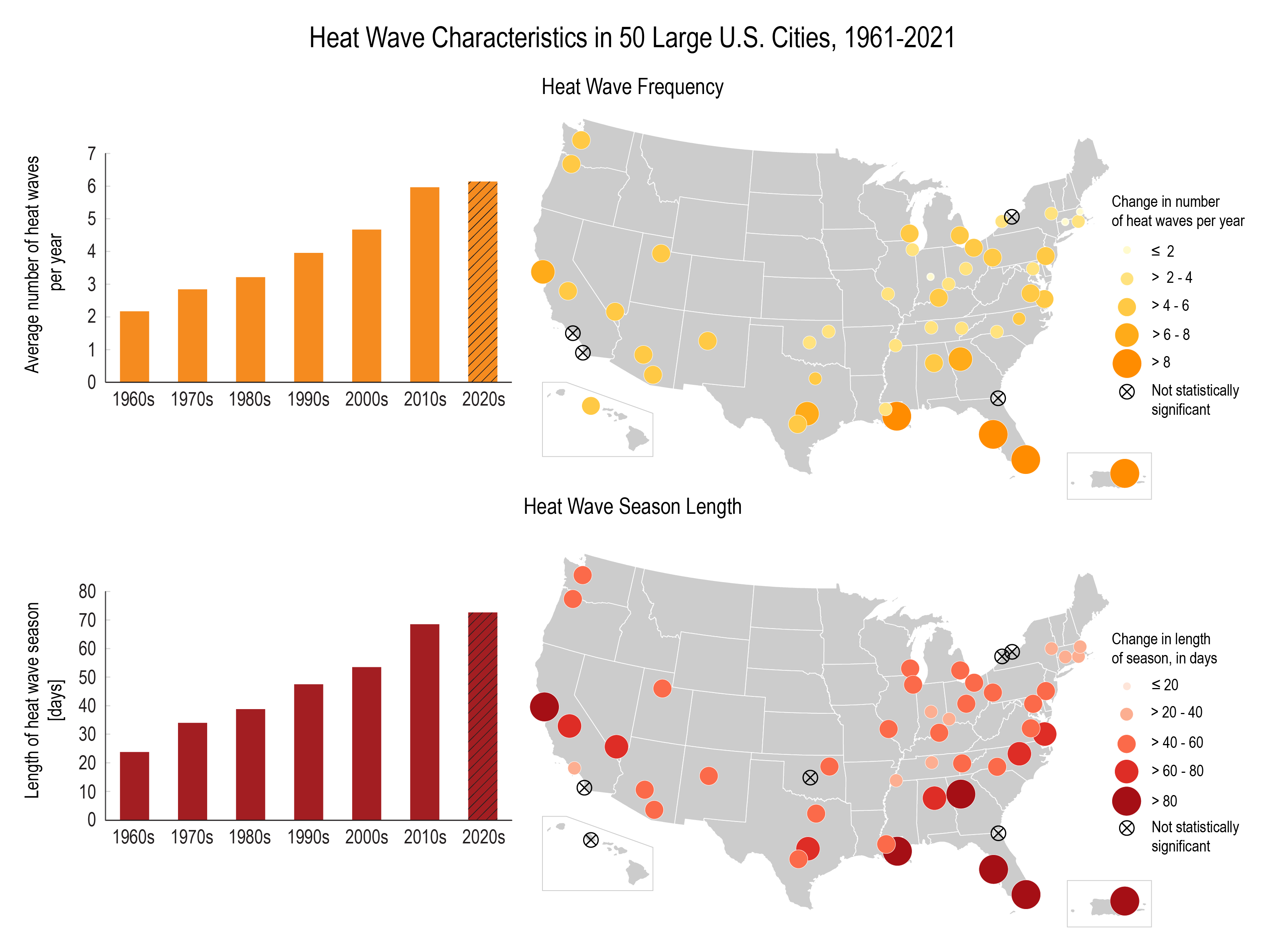
It also turns out that heat waves are increasing in frequency and intensity in the U.S.
And finally, while you’re probably not surprised, the WMO projected that things are going to get warmer. From the linked article:
There is a 66% likelihood that the annual average near-surface global temperature between 2023 and 2027 will be more than 1.5°C above pre-industrial levels for at least one year. There is a 98% likelihood that at least one of the next five years, and the five-year period as a whole, will be the warmest on record.
“This report does not mean that we will permanently exceed the 1.5°C level specified in the Paris Agreement which refers to long-term warming over many years. However, WMO is sounding the alarm that we will breach the 1.5°C level on a temporary basis with increasing frequency,” said WMO Secretary-General Prof. Petteri Taalas.
Office hours notes
Daniel Swain had office hours on the 15th. Here are my brief notes:
Office hours here to stay (yay)
Primary CA snowmelt is still ahead of us (very deep dive here if you want to know more about the state of all things snow related in the west at the end of April)
El Niño
Full steam ahead, confidence increased for strong El Niño event, over 90% chance being in place next fall and winter
CA fire season
We aren’t near peak season yet
We’re more like where we’d be in a typical April right now
Weather Feed is a reader-supported publication. To receive new posts and support my work, consider becoming a free or paid subscriber.
A hurricane for all seasons
Hurricane season in the Pacific starts a little earlier than in the Atlantic. Here’s an educational breakdown of the season and how it works.
Satellites going up all over
Tomorrow.io and NASA both launched satellites recently. These new satellites will improve radar coverage (the lack of which we recently covered), hurricane forecasting, and more. I normally think of satellites being giant metal monsters but the NASA ones are only about the size of a shoe box. Very cute.
Hadn’t heard that one before
It turns out there are names for special cold fronts in different parts of the U.S. This includes the pneumonia front, which is unique to the Great Lakes. One recently swept down Lake Michigan. As you can imagine, cold air moves across the lake (also still cold from the winter months), hits a warmer piece of land, and causes temps to drop dramatically.
Had to share this one
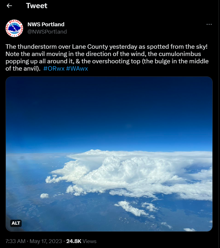
There could easily be a newsletter of just weather photos, but I’ll share just this one. It’s beautiful and educational!
And relatedly, supercells are expected to be more frequent and more intense in the U.S. So if you like that sort of thing, congrats.
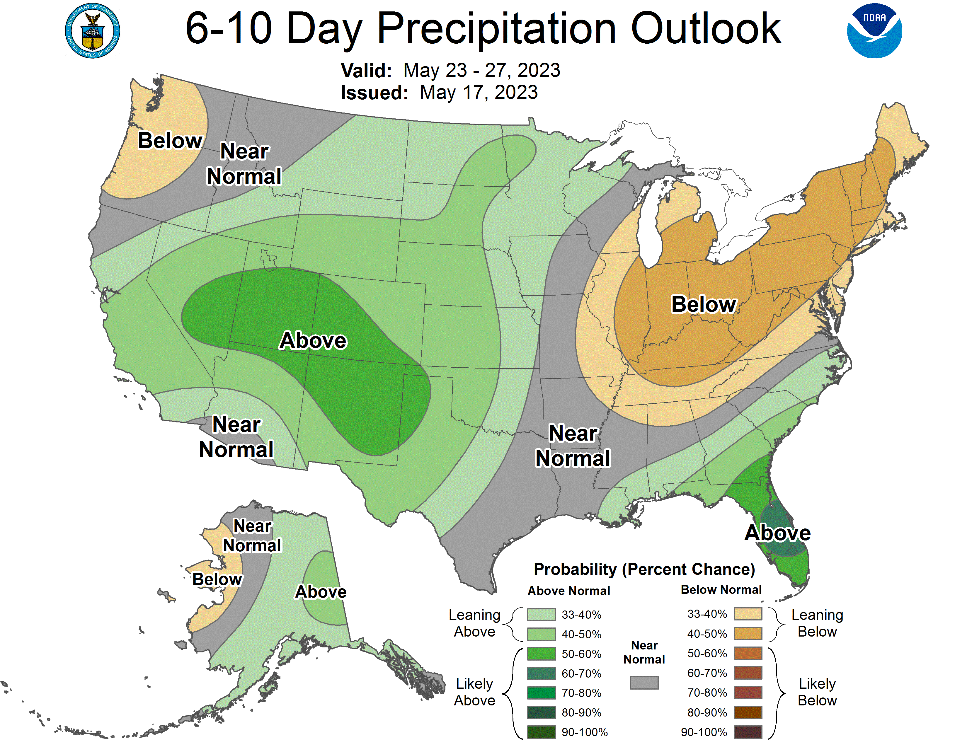
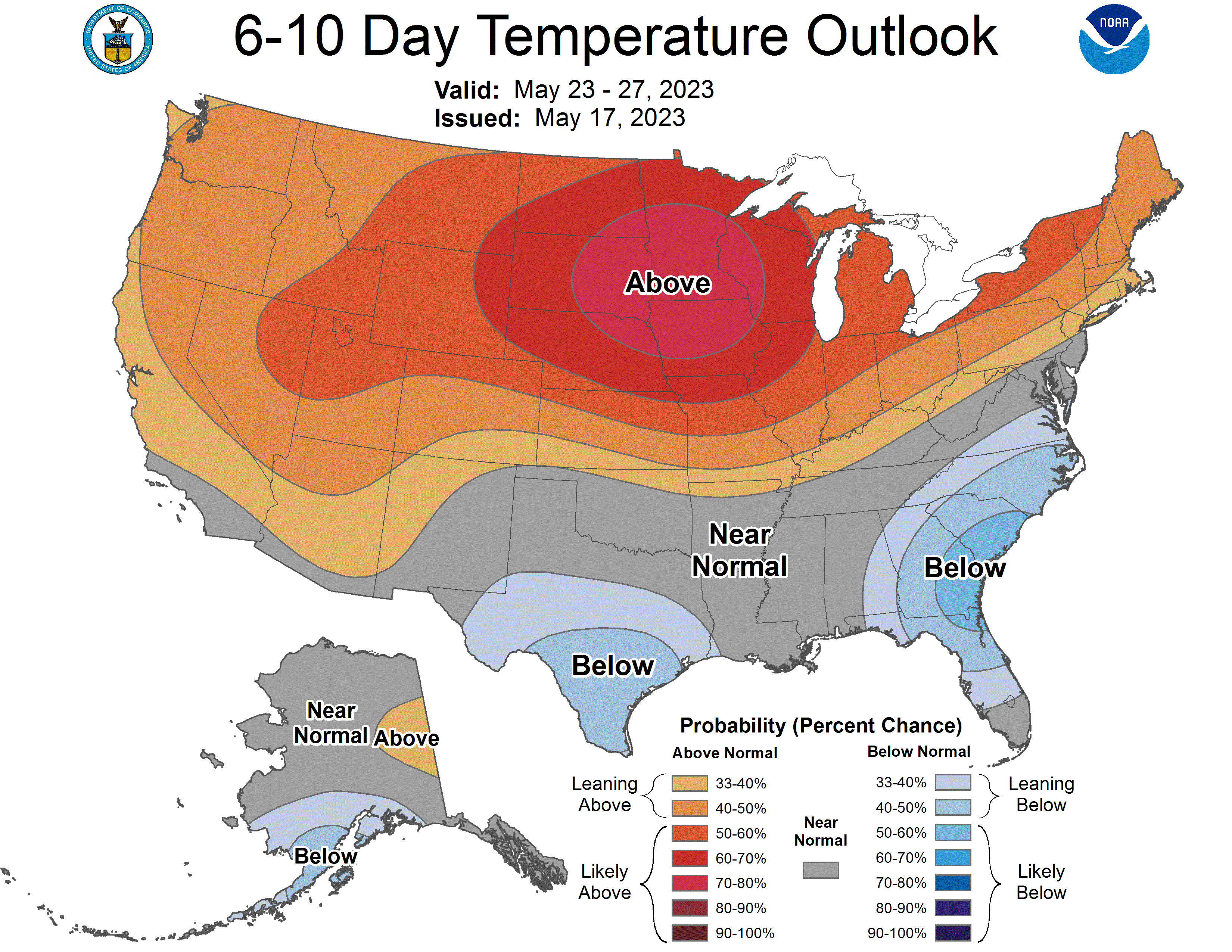
I see your future
But only 6-10 days ahead and with variable rates of accuracy.
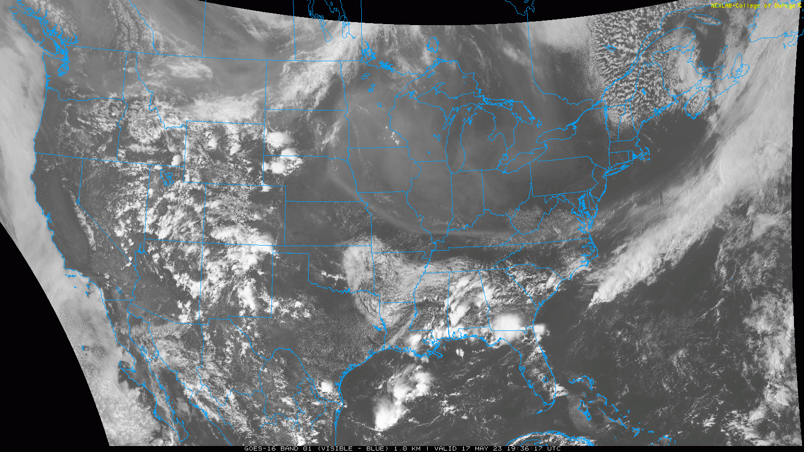
Let’s take a step back
I don’t know why I find these gifs so satisfying. The marine layer is still generating some decent fog out where we’re at.
Farewell, weather fam
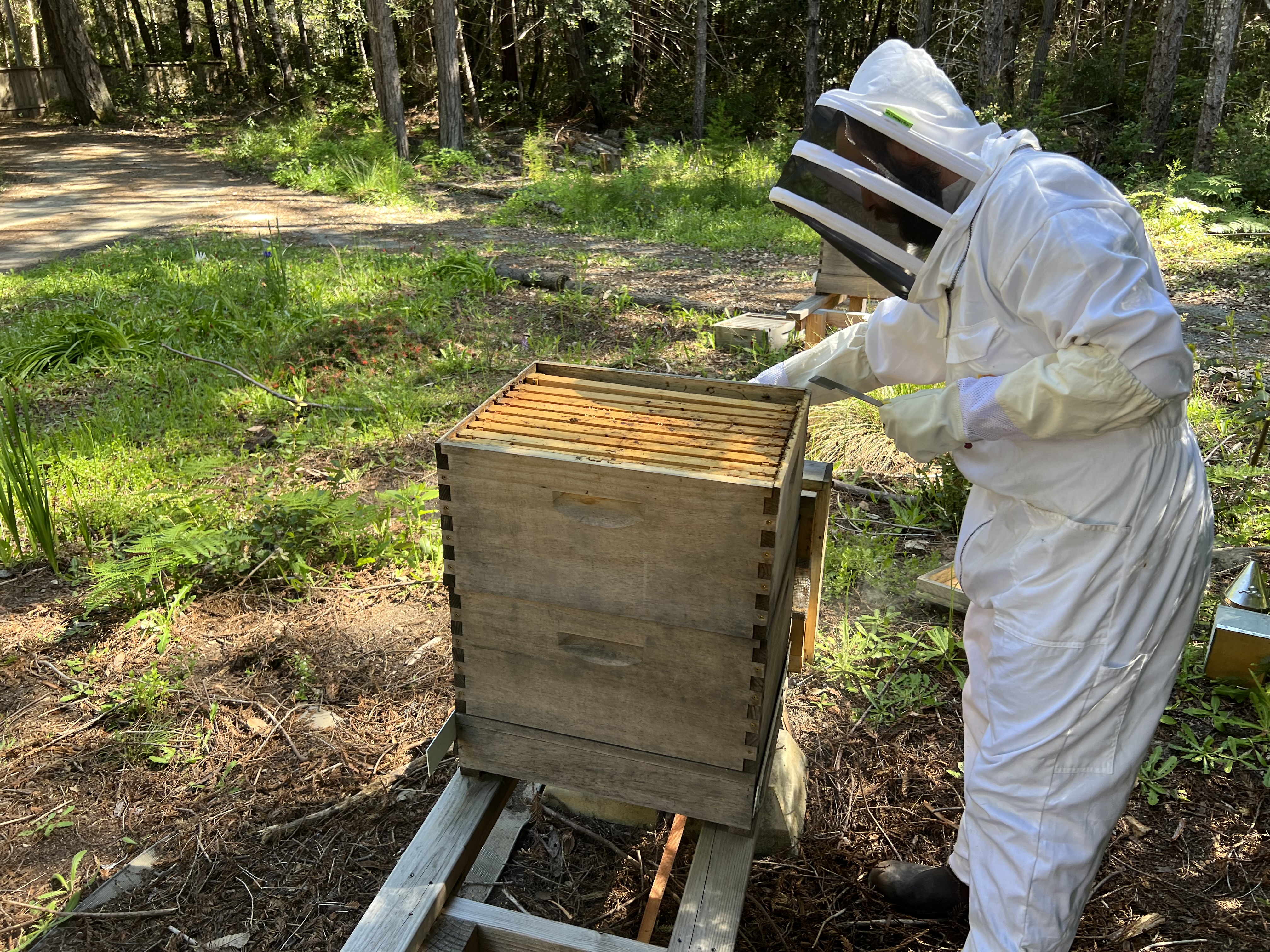
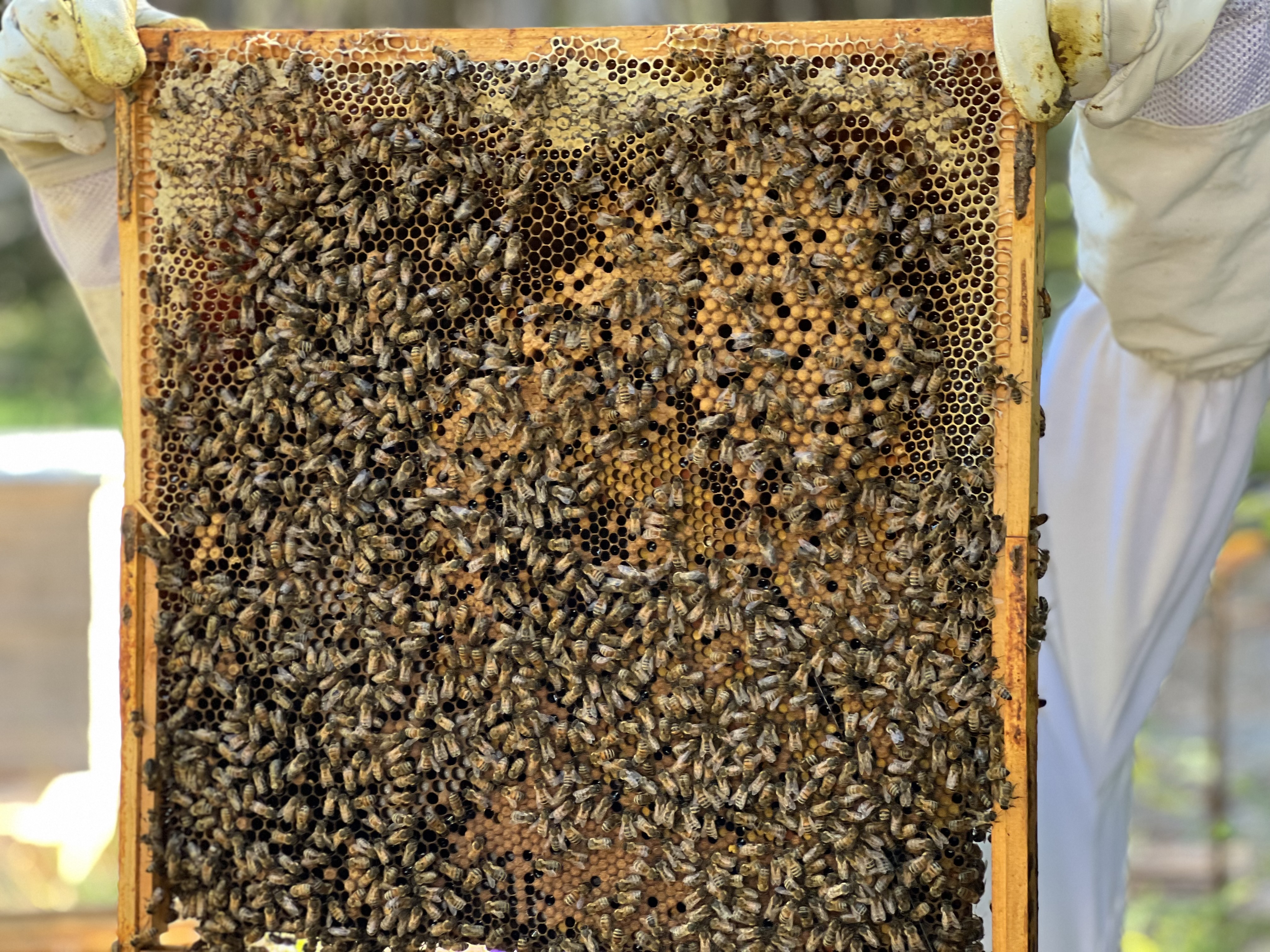
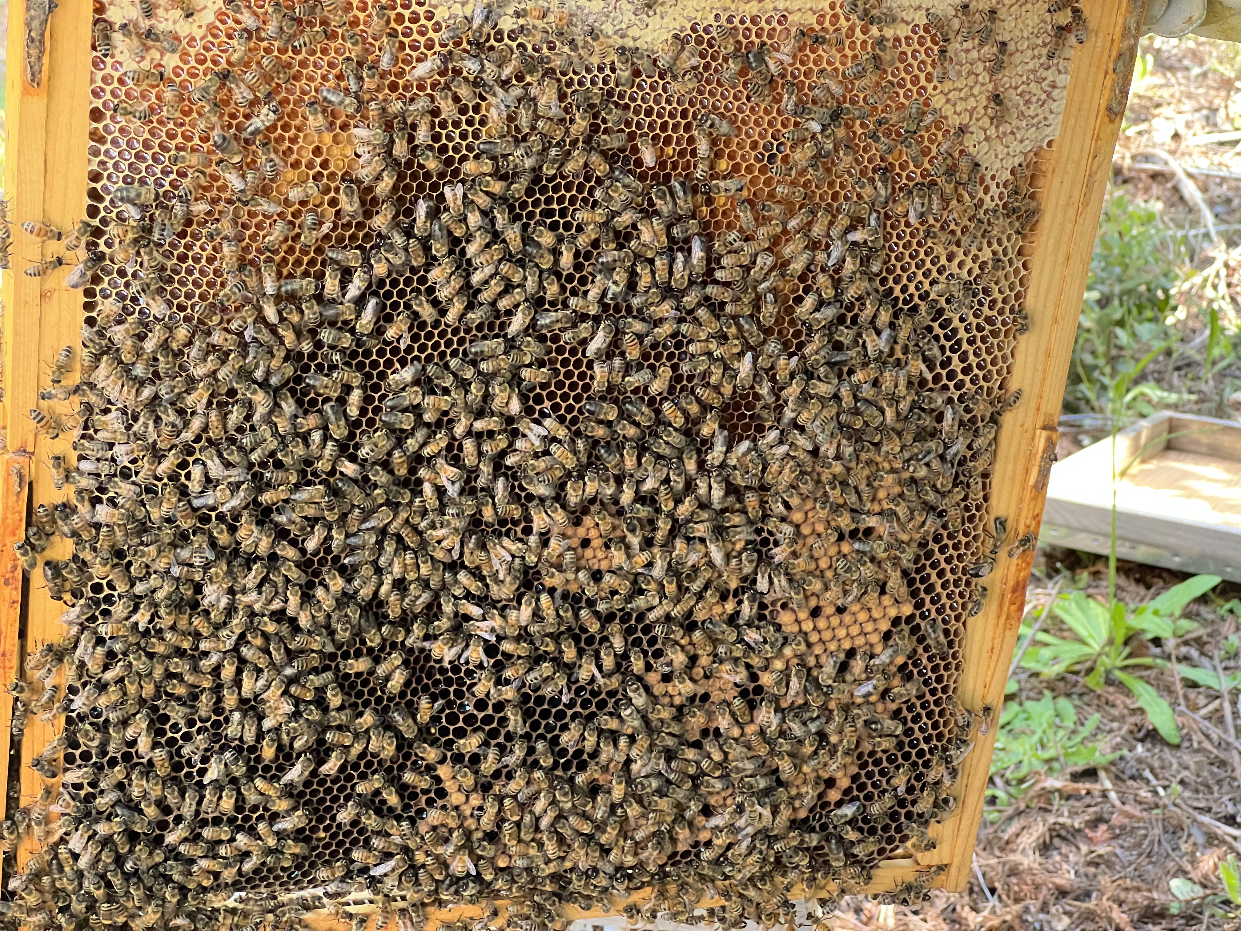
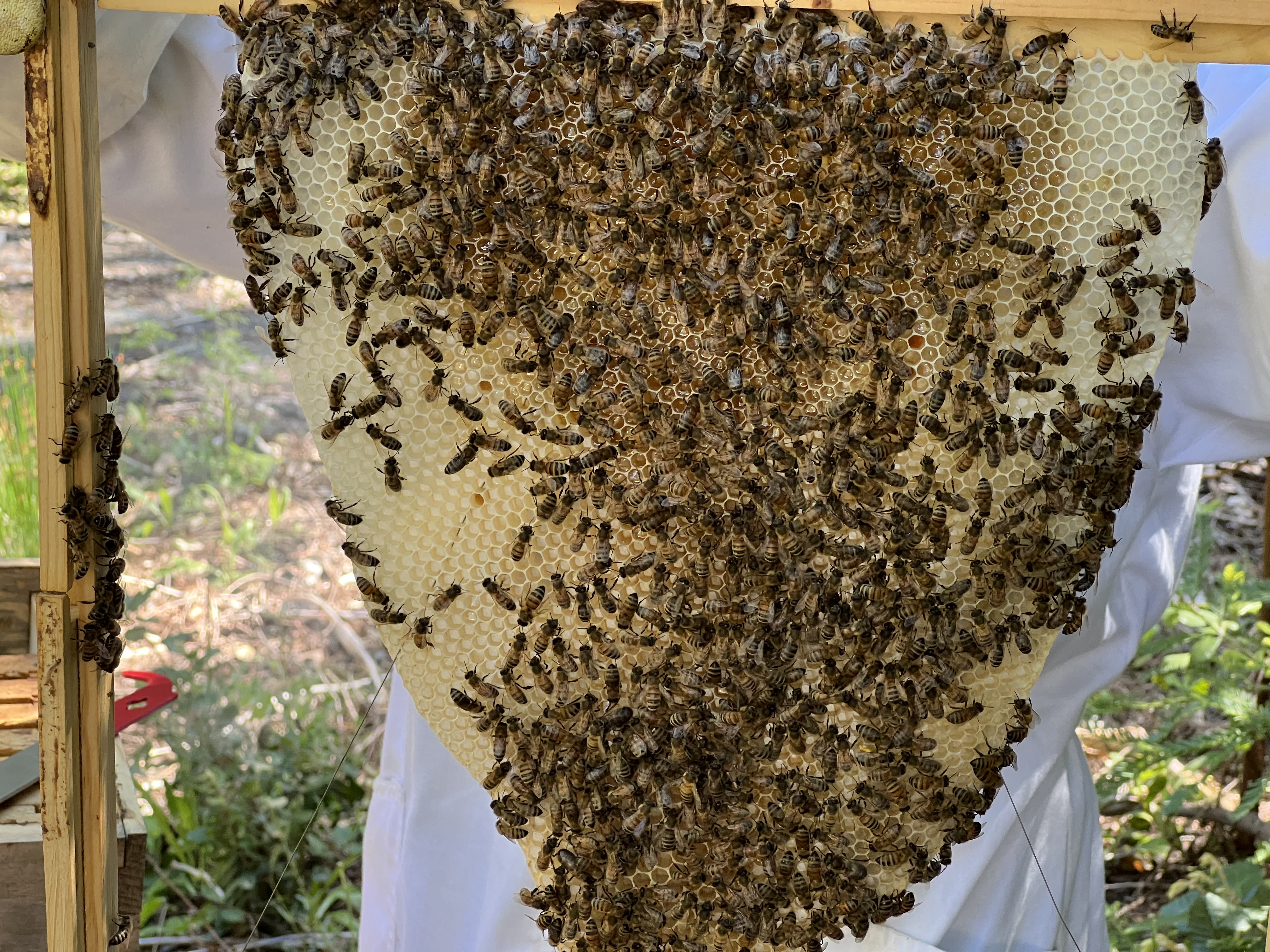
See you next time. Going to send you off with some not-so-weather-related photos. If you have any feedback, likes, dislikes, etc. about these posts, please let me know in the comments or on Notes!